Marble Canyon in Coconino County, Arizona — The American Mountains (Southwest)
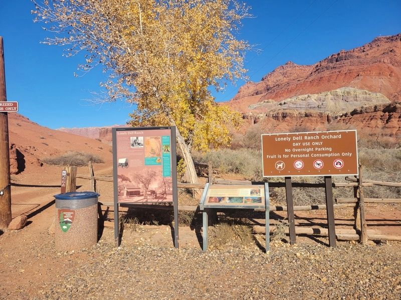
Lonely Dell Ranch

Photographed by Jeremy Snow, December 7, 2025
1. Lonely Dell Ranch Marker
From a lonely outpost to recreational enjoyment, Lonely Dell Ranch still serves its simplest purpose as a place for a traveler to rest, enjoy nature, and bask in the shade of the trees.
A Homesteading Mission
Jacob Hamblin, a missionary from The Church of Jesus Christ of Latter-Day Saints, successfully crossed the Colorado River near here in 1864. Seeing the location’s importance to the settlement of Arizona, Hamblin recommended his church leaders establish a river crossing. Over the years, three Mormon families - the Lees, Johnsons, and Emetts - were sent to homestead and run the busy river crossing which became known as Lees
this page online
(photo caption) Lead ferryman Warren Johnson and family on the steps of their home at Lonely Dell Ranch, 1892
Erected by National Park Service.
Topics. This historical marker is listed in these topic lists: Exploration • Settlements & Settlers. A significant historical year for this entry is 1864.
Location. 36° 52.026′ N, 111° 35.719′ W. Marker is in Marble Canyon, Arizona, in Coconino County. It is on Lonely Dell. Located on the edge of the parking lot for the Lonely Dell Ranch. Touch for map. Marker is at or near this postal address: Lonely Dell, Marble Canyon AZ 86036, United States of America. Touch for directions.

Regionally, this marker is in Flagstaff & High Country, in the Navajo Nation, and in Hopi. It is also in the American Southwest, in the Mountain West, on the Colorado Plateau, and at the Four Corners. Globally, it is in North America, the Western Hemisphere, the Western World, and the Anglosphere. Historically, it finds itself in what was once New Spain and also Mexico’s Alta California.
Other nearby markers. At least 8 other markers are within walking distance of this marker: Paria Canyon - Vermillion Cliffs Wilderness
Photographed by Jeremy Snow, December 7, 2025
2. Lonely Dell Ranch Marker
Credits. This page was last revised on December 9, 2025. It was originally submitted on December 8, 2025, by Jeremy Snow of Cedar City, Utah. This page has been viewed 81 times since then and 41 times this year. Photos: 1, 2. submitted on December 8, 2025, by Jeremy Snow of Cedar City, Utah. • Andrew Ruppenstein was the editor who published this page.
