Shiremanstown in Cumberland County, Pennsylvania — The American Northeast (Mid-Atlantic)
St. John's Evangelical Lutheran Church
Photographed by William Fischer, Jr., December 7, 2025
1. St. John's Evangelical Lutheran Church Marker
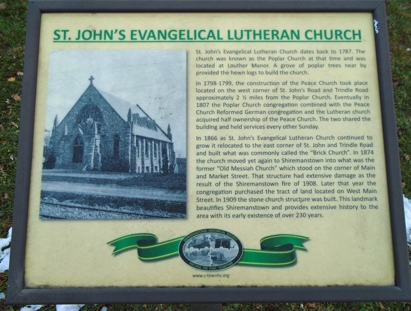
St. John's Evangelical Lutheran Church dates back to 1787. The church was known as the Poplar Church at that time and was located at Louther Manor. A grove of poplar trees near by provided the hewn logs to build the church.
In 1798-1799, the construction of the Peace Church took place located on the west corner of St. John's Road and Trindle Road. approximately 2 ½ miles from the Poplar Church. Eventually in 1807 the Poplar Church congregation combined with the Peace Church Reformed German congregation and the Lutheran church acquired half ownership of the Peace Church. The two shared the building and held services every other Sunday.
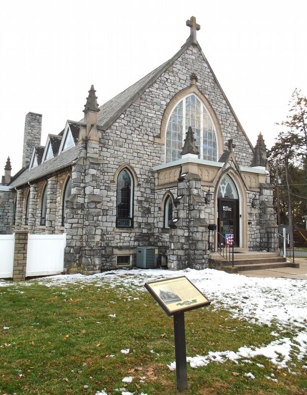
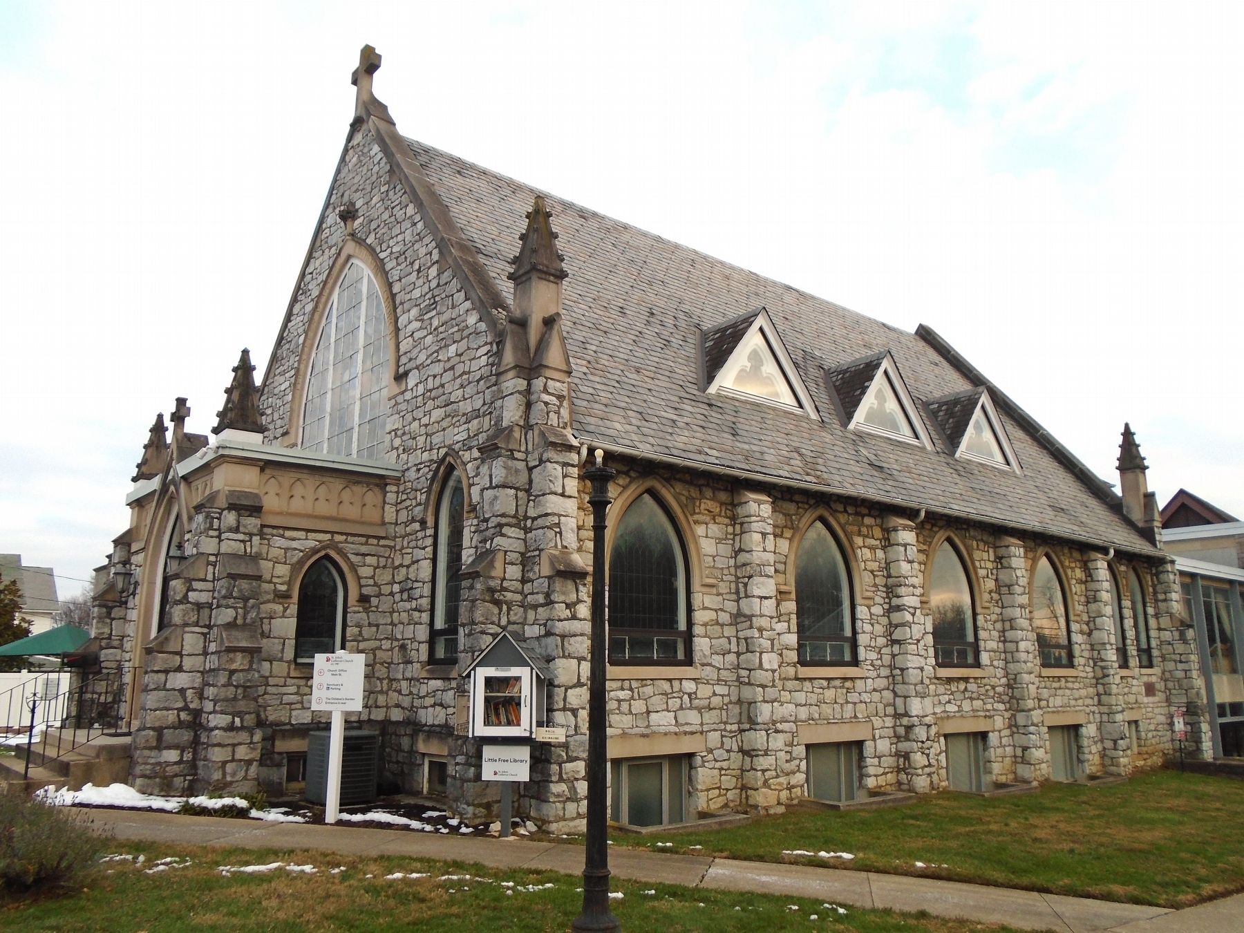
In 1866 as St. John's Evangelical Lutheran Church continued to grow it relocated to the east corner of St. John and Trindle Road and built what was commonly called the "Brick Church". In 1874 the church moved yet again to Shiremanstown into what was the former "Old Messiah Church" which stood on the corner of Main and Market Street. That structure had extensive damage as the result of the Shiremanstown fire of 1908. Later that year the congregation purchased the tract of land located on
this page online
Erected by Shiremanstown Historical Society.
Topics and series. This historical marker is listed in this topic list: Religion & Religious Structures. In addition, it is included in the Pennsylvania, Shiremanstown Historical Society Walking Tour series list. A significant historical year for this entry is 1909.
Location. 40° 13.351′ N, 76° 57.413′ W. Marker is in Shiremanstown, Pennsylvania, in Cumberland County. It is at the intersection of Main Street and Eberly Avenue, on the left when traveling west on Main Street. Touch for map. Marker is at or near this postal address: 44 West Main Street, Camp Hill PA 17011, United States of America. Touch for directions.

Regionally, this marker is in South-Central Pennsylvania and in Greater Harrisburg. It is also in the American Northeast, in the Mid-Atlantic, in Appalachia, and specifically in Northern Appalachia. Globally, it is in North America, the Western Hemisphere, the Western World,
Photographed by William Fischer, Jr., December 7, 2025
2. St. John's Evangelical Lutheran Church and Marker
Other nearby markers. At least 8 other markers are within walking distance of this marker: The Shell Home & Butchery - Early 1900s (within shouting distance of this marker); Jacob Miller - 1874 (about 400 feet away, measured in a direct line); Rupp Carriage Factory - Built Around 1875 (about 500 feet away); Rupp General Store - Built Before 1862 (about 600 feet away); The Starr Tin Shop (about 800 feet away); Atticks Tailor Shop - Built Mid 1800s (approx. 0.2 miles away); First Church of God - Dedicated 1838 (approx. 0.2 miles away); The Home of Primroses - Built About 1885 (approx. ¼ mile away). Touch for a list and map of all markers in Shiremanstown.
Photographed by William Fischer, Jr., December 7, 2025
3. St. John's Evangelical Lutheran Church
Credits. This page was last revised on December 8, 2025. It was originally submitted on December 8, 2025, by William Fischer, Jr. of Reynoldsburg, Ohio. This page has been viewed 275 times since then and 145 times this year. Photos: 1, 2, 3. submitted on December 8, 2025, by William Fischer, Jr. of Reynoldsburg, Ohio.
