
Quidi Vidi in St. John's in CensusDiv 1 - Avalon Peninsula-St. John's, Newfoundland and Labrador — The Atlantic Provinces (North America)
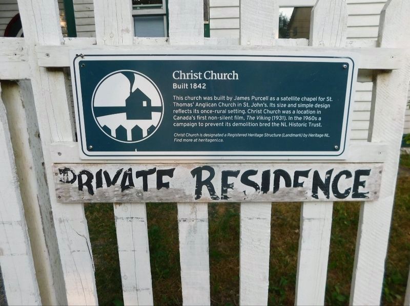
Christ Church
Built 1842
Photographed by Jimmy Emerson, July 2024
1. Christ Church Marker
Christ Church is designated a Registered Heritage Structure (Landmark) by Heritage NL
Find more at heritagent.ca
Erected by Heritage Newfoundland.
Topics. This historical marker is listed in these topic lists: Arts, Letters, Music • Religion & Religious Structures. A significant historical year for this entry is 1842.
Location. 47° 34.966′ N, 52° 40.721′ W. Marker is in St. John's, Newfoundland and Labrador, in CensusDiv 1 - Avalon Peninsula-St. John's. It is in Quidi Vidi. It is on Quidi Vidi Village Road, on the right when traveling north. Touch for map. Marker is at or near this postal address: 86 Quidi Vidi Village Road, St John's NL A1A 5W2, Canada. Touch for directions.

Regionally, this marker is on Newfoundland and Labrador’s Avalon Peninsula. It is also in Atlantic
this page online
Other nearby markers. At least 8 other markers are within walking distance of this marker: A different marker also named Christ Church (here, next to this marker); Mallard Cottage / La Maison Mallard (about 120 meters away, measured in a direct line); First Transatlantic Wireless Signal (approx. 1.4 kilometers away); Fever Hospital (approx. 1.4 kilometers away); Transatlantic Radio Signals (approx. 1.4 kilometers away); Peacetime Use (approx. 1.4 kilometers away); Battle of Signal Hill / La bataille de Signal Hill (approx. 1.4 kilometers away); Cabot Tower (approx. 1.4 kilometers away). Touch for a list and map of all markers in St. John's.
Photographed by Jimmy Emerson, July 2024
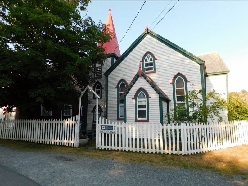
2. Christ Church and Marker
Now a private residence
Credits. This page was last revised on December 22, 2025. It was originally submitted on December 8, 2025, by Jimmy Emerson of Dalton, Georgia. This page has been viewed 33 times since then and 15 times this year. Photos: 1, 2. submitted on December 8, 2025, by Jimmy Emerson of Dalton, Georgia. • Andrew Ruppenstein was the editor who published this page.
