Marble Canyon in Coconino County, Arizona — The American Mountains (Southwest)
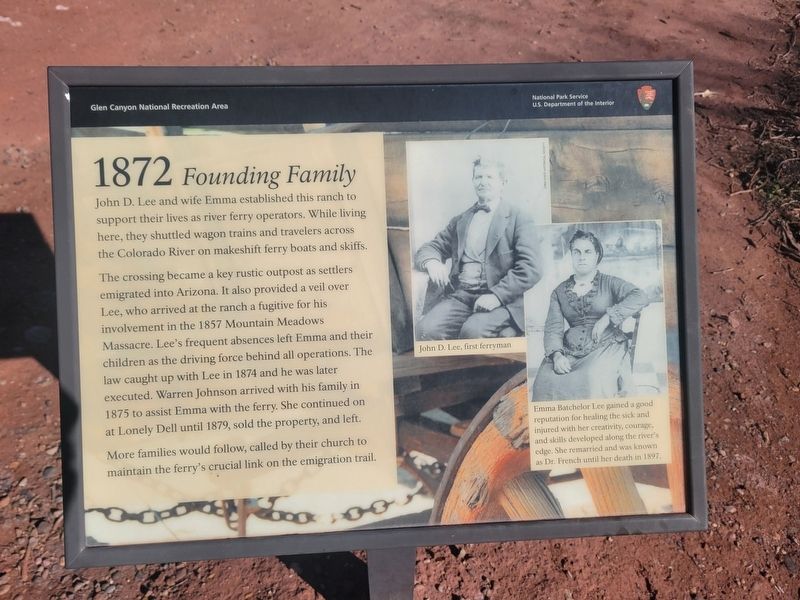
1872 Founding Family
Photographed by Jeremy Snow, December 7, 2025
1. 1872 Founding Family Marker
The crossing became a key rustic outpost as settlers emigrated into Arizona. It also provided a veil over Lee, who arrived at the ranch a fugitive for his involvement in the 1857 Mountain Meadows Massacre. Lee's frequent absences left Emma and their children as the driving force behind all operations. The law caught up with Lee in 1874 and he was later executed. Warren Johnson arrived with his family in 1875 to assist Emma with the ferry. She continued on at Lonely Dell until 1879, sold the property, and left.
More families would follow, called by their church to maintain the ferry's crucial link on the emigration trail.
(photo captions) John D. Lee, first ferryman
Emma Batchelor Lee gained a good reputation for healing the sick and injured with her creativity, courage, and skills developed along the river's edge. She remarried and was known as Dr. French until her death in 1897.
Erected by National
this page online
Topics. This historical marker is listed in this topic list: Settlements & Settlers. A significant historical year for this entry is 1857.
Location. 36° 52.102′ N, 111° 35.753′ W. Marker is in Marble Canyon, Arizona, in Coconino County. It can be reached from Lonely Dell. Marker located along the trail to Loney Dell Ranch. Touch for map. Marker is at or near this postal address: Lonely Dell, Marble Canyon AZ 86036, United States of America. Touch for directions.

Regionally, this marker is in Flagstaff & High Country, in the Navajo Nation, and in Hopi. It is also in the American Southwest, in the Mountain West, on the Colorado Plateau, and at the Four Corners. Globally, it is in North America, the Western Hemisphere, the Western World, and the Anglosphere. Historically, it finds itself in what was once New Spain and also Mexico’s Alta California.
Other nearby markers. At least 8 other markers are within walking distance of this marker: 1872 Irrigation (a few steps from this marker); 1925 Polygamist Cabin (within shouting distance of this marker); 1965 The Orchard (within shouting distance of this marker);
Photographed by Jeremy Snow, December 7, 2025
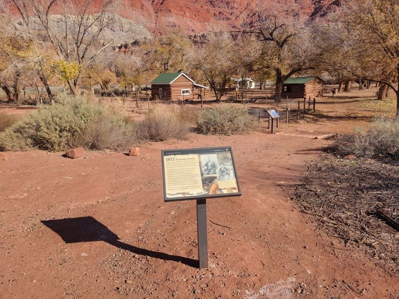
2. 1872 Founding Family Marker
Credits. This page was last revised on December 17, 2025. It was originally submitted on December 9, 2025, by Jeremy Snow of Cedar City, Utah. This page has been viewed 111 times since then and 68 times this year. Photos: 1, 2. submitted on December 9, 2025, by Jeremy Snow of Cedar City, Utah. • Andrew Ruppenstein was the editor who published this page.
