Regina in Sherwood No. 159, Saskatchewan — The Prairie Region (North America)
Saskatchewan Legislative Building
Provincial Heritage Property
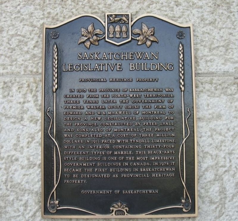
Photographed by Jimmy Emerson, June 2009
1. Saskatchewan Legislative Building Marker
Erected 2001 by Government of Saskatchewan.
Topics. This historical marker is listed in these topic lists: Architecture • Government & Politics. A significant historical year for this entry is 1911.
Location. 50° 25.972′ N, 104° 36.902′ W. Marker is in Regina, Saskatchewan, in Sherwood No. 159. It is on Legislative Drive. Touch for map. Marker is at or near this postal address: 2405 Legislative Drive, Regina SK S4S 0B3, Canada. Touch for directions.

Regionally,
this page online
Other nearby markers. At least 8 other markers are within 2 kilometers of this marker, measured as the crow flies: Military Nurses of Canada / Les infirmières militaires du Canada (about 180 meters away, measured in a direct line); Regina's Lake 1883–1960 (approx. 0.4 kilometers away); The Evolution of a Bridge (approx. 0.4 kilometers away); Pile of Bones Creek (approx. 0.4 kilometers away); The Albert Memorial Bridge (approx. half a kilometer away); Saskatchewan Government Telephones Head Office (approx. one kilometer away); Regina Land Titles Building (approx. 1.6 kilometers away); Chief Payepot (approx. 1.6 kilometers away). Touch for a list and map of all markers in Regina.
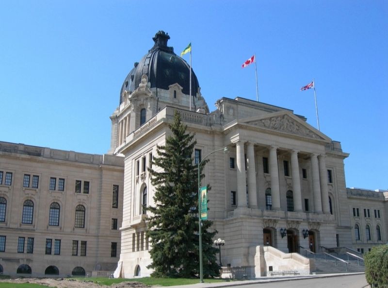
Photographed by Jimmy Emerson, June 2009
2. Saskatchewan Legislative Building Marker
Marker is on the side of the staircase

circa 1925
3. Saskatchewan Legislative Building
Credits. This page was last revised on December 18, 2025. It was originally submitted on December 10, 2025, by Jimmy Emerson of Dalton, Georgia. This page has been viewed 51 times since then and 28 times this year. Photos: 1, 2. submitted on December 10, 2025, by Jimmy Emerson of Dalton, Georgia. 3. submitted on December 18, 2025. • Andrew Ruppenstein was the editor who published this page.
