Near Paducah in McCracken County, Kentucky — The American South (East South Central)
Woodland School
⎯⎯⎯
Rosenwald Schools
Photographed by Duane and Tracy Marsteller, November 30, 2025
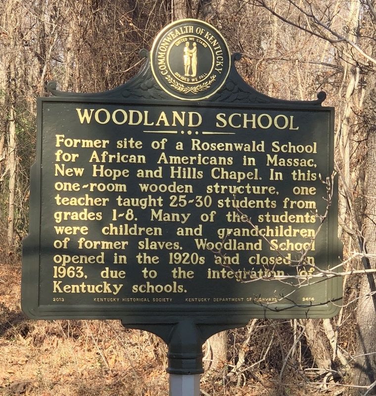
1. Woodland School side of marker
Woodland School. Former site of a Rosenwald School for African Americans in Massac, New Hope and Hills Chapel. In this one-room wooden structure, one teacher taught 25-30 students from grades 1-8. Many of the students were children and grandchildren of former slaves. Woodland School opened in the 1920s and closed in 1963, due to the integration Kentucky schools.
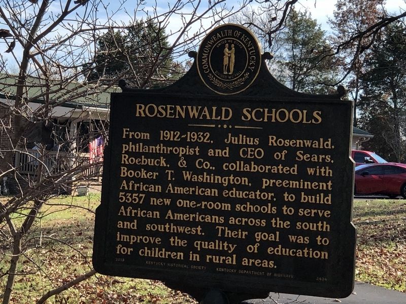
Rosenwald Schools. From 1912-1932, Julius Rosenwald, philanthropist and CEO of Sears, Roebuck, & Co., collaborated with Booker T. Washington, preeminent African American educator, to build 5357 new one-room schools to serve African Americans across the south and southwest. Their goal was to improve the quality of education for children in rural areas.
Erected 2013 by Kentucky Historical Society • Kentucky Department of Highways. (Marker Number 2404.)
Topics. This historical marker is listed in these topic lists: African Americans • Education. A significant historical year for this entry is 1963.
Location. 37° 0.073′ N, 88° 45.766′ W. Marker is near Paducah, Kentucky, in McCracken County. It is on Hocker Road half a mile south of Lovelaceville Road
this page online

Regionally, this marker is in Kentucky’s Jackson Purchase. It is also in the American Midwest, in the South, in the Upper South, and in the Ohio River Valley. Globally, it is in North America, the Western Hemisphere, the Western World, and the Anglosphere. Historically, it finds itself in what was once the territory of the Mississippian Culture and also the Antebellum South.
Other nearby markers. At least 8 other markers are within 7 miles of this marker, measured as the crow flies: Welcome to Paducah, Ky. / Barkley Field, Paducah, Ky. (approx. 4.1 miles away); Site of Melber School / School Consolidation (approx. 4.4 miles away); St. John the Evangelist Church / St. John the Evangelist School (approx. 5½ miles away); The Lone Oak (approx. 5.6 miles away); Paducah Federal Building Columns (approx. 6.3 miles away); Alben W. Barkley / Barkley's Grave (approx. 6.6 miles away); Wilmington (approx. 6.6 miles away); Paducah Community College
Photographed by Duane and Tracy Marsteller, November 30, 2025
2. Rosenwald Schools side of marker
Photographed by Duane and Tracy Marsteller, November 30, 2025
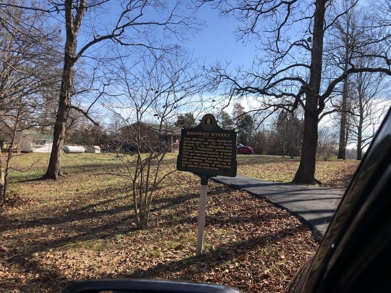
3. Woodland School / Rosenwald Schools Marker
Credits. This page was last revised on February 25, 2026. It was originally submitted on December 11, 2025, by Duane and Tracy Marsteller of Murfreesboro, Tennessee. This page has been viewed 59 times since then and 32 times this year. Photos: 1, 2, 3. submitted on December 11, 2025, by Duane and Tracy Marsteller of Murfreesboro, Tennessee. • James Hulse was the editor who published this page.
