Blandville in Ballard County, Kentucky — The American South (East South Central)
Blandville Courthouse
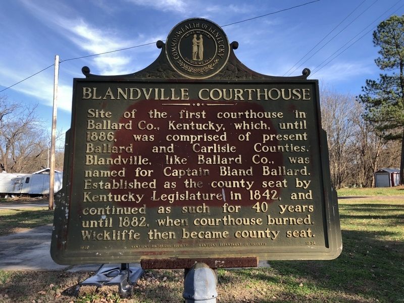
Photographed by Duane and Tracy Marsteller, November 30, 2025
1. Blandville Courthouse Marker
Erected 1970 by Kentucky Historical Society • Kentucky Department of Highways. (Marker Number 1374.)
Topics. This historical marker is listed in this topic list: Government & Politics. A significant historical year for this entry is 1886.
Location. 36° 56.588′ N, 88° 57.838′ W. Marker is in Blandville, Kentucky, in Ballard County. It is at the intersection of Blandville Road (State Road 1837) and Perry Drive, in the median on Blandville Road. Touch for map. Marker is in this post office area: Wickliffe KY 42087, United States of America. Touch for directions.

Regionally, this marker is in the Jackson Purchase. It is also in the American Midwest, in the South, in the Upper South, in the Ohio River Valley, and in the Great River Road Region. Globally,
this page online
Other nearby markers. At least 8 other markers are within 7 miles of this marker, measured as the crow flies: A different marker also named Blandville Courthouse (a few steps from this marker); County Named, 1886 (approx. 4.6 miles away); Demonstration - 1862 (approx. 5.3 miles away); Private First Class Robert Monroe Hammonds (approx. 7.1 miles away); County Named, 1842 (approx. 7.1 miles away); Lewis and Clark in Kentucky Fort Jefferson (approx. 7.1 miles away); Fort Jefferson Site / Indian Massacre (approx. 7.1 miles away); Fort Jefferson (approx. 7.1 miles away).
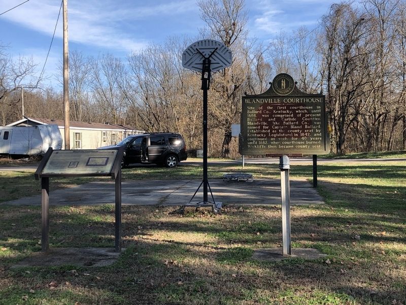
Photographed by Duane and Tracy Marsteller, November 30, 2025
2. Blandville Courthouse Marker
Featured marker is on the right.
Credits. This page was last revised on December 22, 2025. It was originally submitted on December 11, 2025, by Duane and Tracy Marsteller of Murfreesboro, Tennessee. This page has been viewed 60 times since then and 31 times this year. Photos: 1, 2. submitted on December 11, 2025, by Duane and Tracy Marsteller of Murfreesboro, Tennessee. • James Hulse was the editor who published this page.
