Page in Coconino County, Arizona — The American Mountains (Southwest)
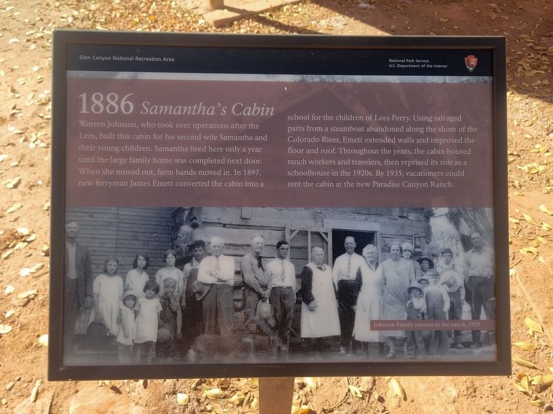
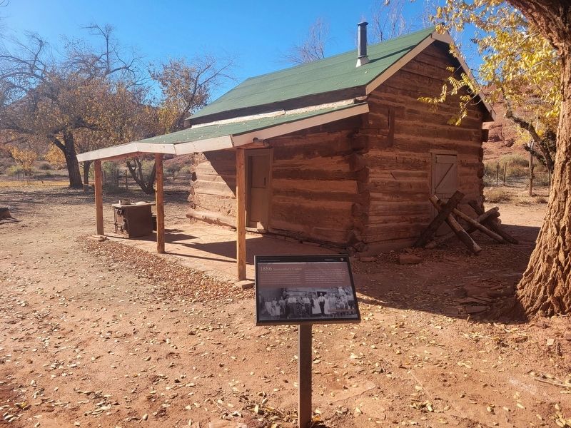
1886 Samantha's Cabin
Photographed by Jeremy Snow, December 7, 2025
1. 1886 Samantha's Cabin Marker
(photo caption) Johnson Family returns to the ranch, 1929
Erected by National Park Service.
Topics. This historical marker is listed in this topic list: Settlements & Settlers. A significant historical year for this entry is 1886.
Location. 36° 52.128′ N, 111° 35.728′ W. Marker is in Page, Arizona, in Coconino County. It can be reached from Lonely Dell. Located along the paths at Loney Dell Ranch. Touch for map. Marker is at or near
this page online

Regionally, this marker is in Flagstaff & High Country, in the Navajo Nation, and in Hopi. It is also in the American Southwest, in the Mountain West, on the Colorado Plateau, and at the Four Corners. Globally, it is in North America, the Western Hemisphere, the Western World, and the Anglosphere. Historically, it finds itself in what was once New Spain and also Mexico’s Alta California.
Other nearby markers. At least 8 other markers are within walking distance of this marker: 1886 The Family Home (here, next to this marker); 1878 Root Cellar (a few steps from this marker); 1925 Polygamist Cabin (within shouting distance of this marker); 1936 Weaver House (within shouting distance of this marker); 1872 Irrigation (within shouting distance of this marker); 1872 Founding Family (within shouting distance of this marker); 1965 The Orchard (about 300 feet away, measured in a direct line); Lonely Dell Ranch (about 600 feet away). Touch for a list and map of all markers in Page.
Photographed by Jeremy Snow, December 7, 2025
2. 1886 Samantha's Cabin Marker
Credits. This page was last revised on December 16, 2025. It was originally submitted on December 11, 2025, by Jeremy Snow of Cedar City, Utah. This page has been viewed 105 times since then and 80 times this year. Photos: 1, 2. submitted on December 11, 2025, by Jeremy Snow of Cedar City, Utah. • Andrew Ruppenstein was the editor who published this page.
