Vernon in Windham County, Vermont — The American Northeast (New England)
Boundary Line
Massachusetts Vermont New Hampshire

Photographed by Jimmy Emerson, 2013
1. Boundary Line Marker
Massachusetts
New Hampshire
And Vermont
1897
Commissioners June 13 & Oct 26 1894
defining the Boundary Line between
them established by Royal Decree 1740.
The South West Corner of New Hampshire & the South East Corner of Vermont is a point on the West Bank of the Connecticut River in said Line now marked by a copper bolt in the apex of a Granite Monument N Lat 42 43 37.2 W Long 72 27 32.1 S 87 46 45 E 582 feet from the center of this Marker
John J Bell · Josiah C Bellows · Nathaniel H Clark · Charles H Roberts
Commissioners
Elihu T Quimby · Ray T Gile
Surveyors
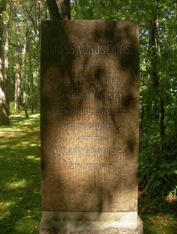
Henry Carter · George Whitney · Edward B. Savage
Commissioners
Nelson Spofford
Surveyor
Kittredge Haskins · Lavant M. Read · James K. Batchelder
Commissioners
Volney C. Barbour
Surveyor
Erected 1897.
Topics. This historical marker is listed in this topic list: Political Subdivisions. A significant historical year for this entry is 1897.
Location. 42° 43.617′ N, 72° 27.519′ W. Marker is in Vernon, Vermont, in Windham
this page online

Regionally, this marker is in the Connecticut River Valley, in the Green Mountains, and in Southern Vermont. It is also in the American Northeast and in New England. Globally, it is in North America, the Western Hemisphere, the Western World, and the Anglosphere. Historically, it finds itself in what was once the Vermont Republic.
Other nearby markers. At least 8 other markers are within 3 miles of this marker, measured as the crow flies: Nathaniel Dickinson (approx. one mile away in Massachusetts); Northfield Main Street Historic District (approx. 1.1 miles away in Massachusetts); Site of Squakheag's First Grist Mill (approx. 1.7 miles away in Massachusetts); World War I Memorial (approx. 2.3 miles away in Massachusetts); The Walk of Heroes (approx. 2.3 miles away in Massachusetts); Fire Station (approx. 2.3 miles away in Massachusetts);

Photographed by Jimmy Emerson, 2013
2. Boundary Line Marker
New Hampshire
New Hampshire
Another marker is no longer nearby. Nathanial Dickinson House (was approx. one mile away in Massachusetts but has been confirmed missing).
Photographed by Jimmy Emerson, 2013
3. Boundary Line Marker
Massachusetts
Massachusetts

Photographed by Jimmy Emerson, 2013
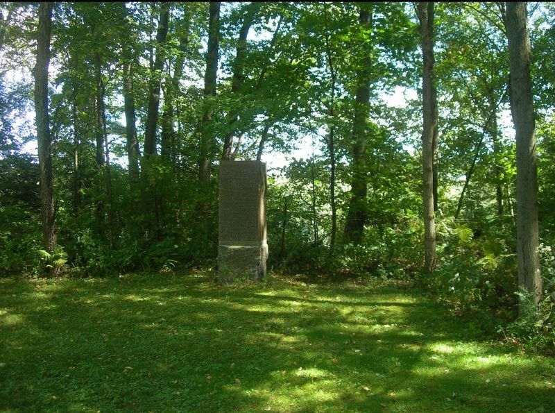
4. Boundary Line Marker
Vermont
Vermont
Photographed by Jimmy Emerson
5. Boundary Line Marker
Credits. This page was last revised on December 18, 2025. It was originally submitted on December 11, 2025, by Jimmy Emerson of Dalton, Georgia. This page has been viewed 58 times since then and 32 times this year. Photos: 1, 2, 3, 4, 5. submitted on December 11, 2025, by Jimmy Emerson of Dalton, Georgia. • Michael Herrick was the editor who published this page.
