
Sainte-Mère-Église in Manche, Normandy, France — Western Europe
L'Auberge John Steele
⎯⎯⎯
John Steele Restaurant
Photographed by James Hulse, June 3, 2025
1. L'Auberge John Steele / John Steele Restaurant Marker

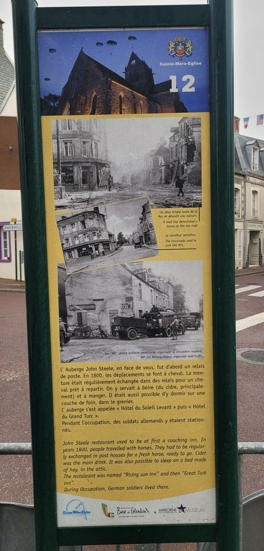
L'Auberge John Steele, en face de vous, fut d'abord un relais de poste. En 1800, les déplacements se font à cheval. La monture était régulièrement échangée dans des relais pour un cheval prêt à repartir. On y servait à boire (du cidre, principalement) et à manger. Il était aussi possible d'y dormir sur une couche de foin, dans le grenier.
L'auberge s'est appelée « Hôtel du Soleil Levant » puis « Hôtel du Grand Turc ».
Pendant l'occupation, des soldats allemands y étaient stationnés.
Légendes
(Photo #1) Un obus éclate route de la Mer et démolit une maison.
(Photo #2) Le carrefour autrefois.
(Photo #3) Des MP, police militaire américainé, organisent la circulation routière.
John Steele restaurant used to be at first a coaching inn. In years 1800, people travelled with horses. They had to be regularly exchanged in post houses for a fresh horse, ready to go. Cider was the main drink. It was also possible to sleep on a bed made of hay, in the attic.
The restaurant was named "Rising sun inn" and then "Great Turk inn".
During Occupation, German soldiers lived there.
Captions
(Photo #1) A shell has demolished a house on the sea road
(Photo #2) The crossroads used to look like this.
(Photo #3) MP (US Military Police) organised road traffic
Reverse Side
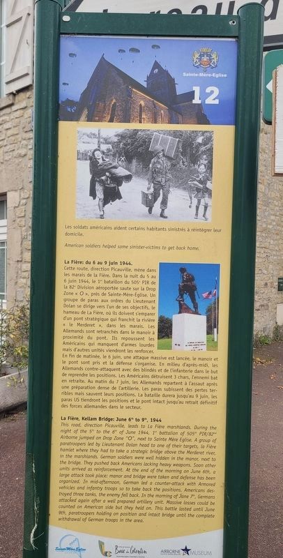
La Fière: du 6 au 9 juin 1944.
Cette route, direction Picauville, mène dans les marais de la Fière. Dans la nuit du 5 au 6 juin 1944, le 1er bataillon du 505ᵉ PIR de la 82ᵉ Division aéroportée saute sur la Drop Zone « O », près de Sainte-Mère-Église. Un groupe de paras aux ordres du Lieutenant Dolan se dirige vers l'un de ses objectifs, le hameau de La Fière, où ils doivent s'emparer d'un pont stratégique qui franchit la rivière « le Merderet », dans les marais. Les Allemands sont retranchés
this page online
Légendes
(Photo #1) Les soldats américains aident certains habitants sinistrés à réintégrer leur domicile.
La Fière, Kellam Bridge: June 6th to 9th, 1944
This road, direction Picauville, leads to La Fière marshlands. During the night of the 5th to the 6th of June 1944, 1 battalion of 505th PIR/82nd Airborne jumped on Drop Zone "O", next to Sainte
Photographed by James Hulse, June 3, 2025
2. L'Auberge John Steele / John Steele Restaurant Marker - Reverse Side
Captions
(Photo #1) American soldiers helped some sinister-victims to get back home.
Erected by Sainte Mère Eglise, Baie du Cotentin and Airborne Museum Sainte-Mère-Eglise. (Marker Number
Photographed by James Hulse, June 3, 2025
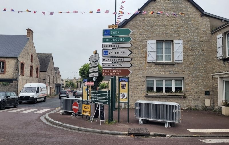
3. The view of the marker along the street (left side)
Topics. This historical marker is listed in this topic list: War, World II. A significant historical year for this entry is 1800.
Location. 49° 24.533′ N, 1° 19.08′ W. Marker is in Sainte-Mère-Église, Normandie (Normandy), in Manche. It is at the intersection of Rue du Cap de Laine (State Road D974) and Rue de Verdun (State Road D15), on the left when traveling north on Rue du Cap de Laine. The marker is located along the intersection of the street next to another marker. Touch for map. Marker is at or near this postal address: 2 Rue du Cap de Laine, Sainte-Mère-Église, Normandie 50480, France. Touch for directions.

Regionally, it is in the North Atlantic Region, Europe, the European Union, Atlantic Europe, the Schengen Area, Western Europe, a coastal Mediterranean country, and the Western World. Historically, it finds itself in what was once a French colony and also the Roman Empire.
Other nearby markers. At least 8 other markers are within walking distance of this marker: Sainte-Mère-Eglise (here, next to this marker); La 2ᵉ Division Blindée (2ᵉ DB) / The 2nd Armored Division (within shouting distance of
Photographed by James Hulse, June 3, 2025
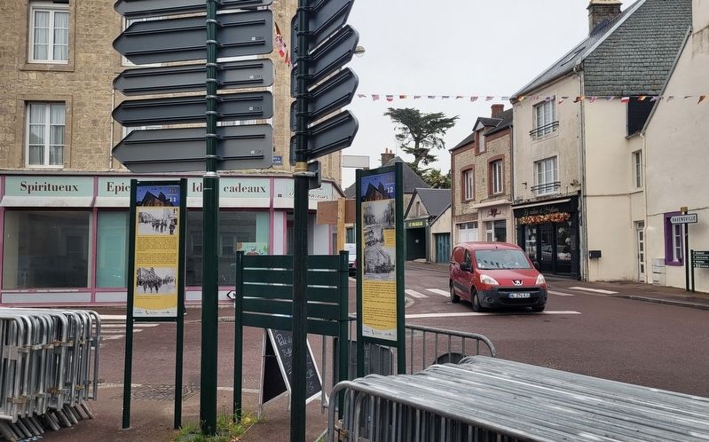
4. The view of the markers towards the street
Credits. This page was last revised on December 13, 2025. It was originally submitted on December 12, 2025, by James Hulse of Medina, Texas. This page has been viewed 57 times since then and 19 times this year. Photos: 1. submitted on December 12, 2025, by James Hulse of Medina, Texas. 2, 3, 4. submitted on December 13, 2025, by James Hulse of Medina, Texas.
