Piney View in Raleigh County, West Virginia — The American South (Appalachia)
Raleigh County
⎯⎯⎯
Fayette County
Photographed by Mike Wintermantel, December 9, 2025
1. Raleigh County / Fayette County Marker
Raleigh County. Formed, 1850, from Fayette. Named for Sir Walter Raleigh, who planted the first English colony in America. Beckley, the county seat, was founded by Alfred Beckley, and named for his father, John, first clerk of the House of Representatives.
Fayette County. Formed in 1831 from Nicholas, Greenbrier, Kanawha, Logan. Named for General Lafayette. On New River, 1671, Batts and Fallam officially claimed Mississippi Valley for Great Britain in opposition to the claim of France.
Topics. This historical marker is listed in this topic list: Political Subdivisions. A significant historical year for this entry is 1850.
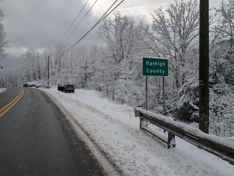
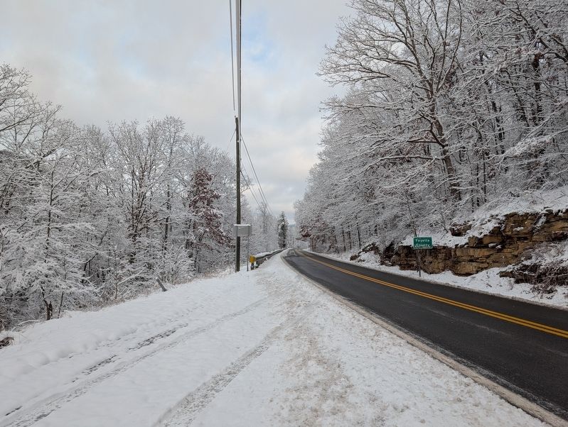
Location. Marker has been reported missing. It was located near 37° 52.762′ N, 81° 9.022′ W. Marker was in Piney View, West Virginia, in Raleigh County. It was on Mill Creek Road (West Virginia Route 61) half a mile south of Mill Creek Loop Road. Touch for map. Marker was in this post office area: Beckley WV 25801, United States of America. Touch for directions.

Regionally, this marker was in the New River Gorge. It was also in the American South, specifically in the Upper South, in Appalachia,
this page online
Other nearby markers. At least 8 other markers are within 2 miles of this location, measured as the crow flies: DuBois High School (approx. 1.3 miles away); A Commercial Center (approx. 1.3 miles away); Historic Mount Hope Walking Tour (approx. 1.3 miles away); Bailey Row (approx. 1.3 miles away); World War I Memorial (approx. 1.3 miles away); Dubois High School (approx. 1.3 miles away); New River Coalfield (approx. 1.4 miles away); The Coming of the Railroads (approx. 1.4 miles away).
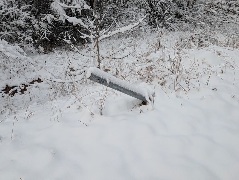
More about this marker. Marker is missing, only damaged post remains.
Photographed by Mike Wintermantel, December 9, 2025
2. Raleigh County / Fayette County Marker
Photographed by Mike Wintermantel, December 9, 2025
3. Raleigh County / Fayette County Marker
Credits. This page was last revised on December 14, 2025. It was originally submitted on December 13, 2025, by Mike Wintermantel of Pittsburgh, Pennsylvania. This page has been viewed 61 times since then and 22 times this year. Photos: 1, 2, 3. submitted on December 13, 2025, by Mike Wintermantel of Pittsburgh, Pennsylvania.
