
Sainte-Marie-du-Mont in Manche, Normandy, France — Western Europe
Le parachutiste Ambrose Allie
6 juin 1944
⎯⎯⎯
The paratrooper Ambrose Allie
June 6th, 1944
Photographed by James Hulse, June 6, 2025
1. Le parachutiste Ambrose Allie / The paratrooper Ambrose Allie Marker

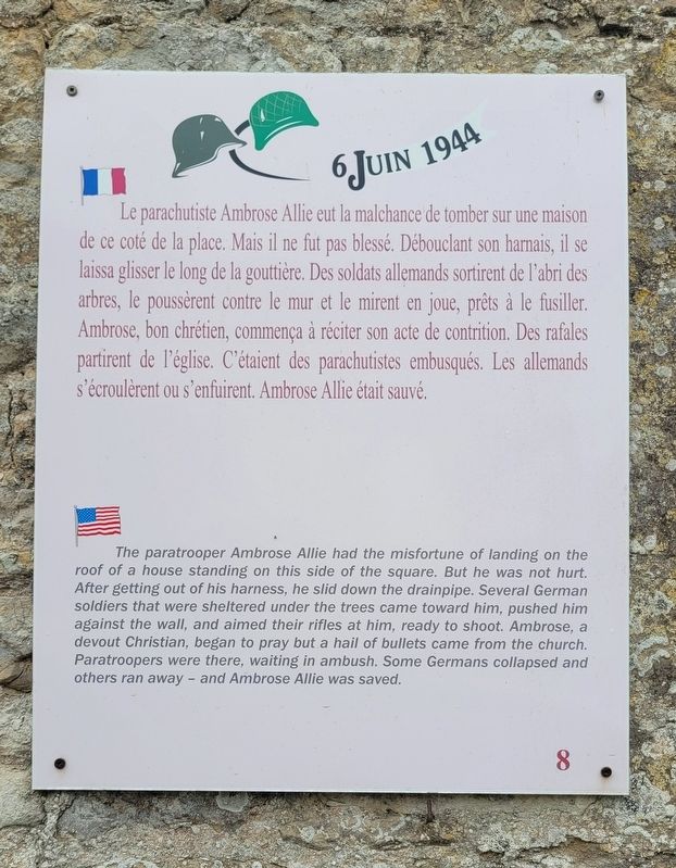
Le parachutiste Ambrose Allie eut la malchance de tomber sur une maison de ce coté de la place. Mais il ne fut pas blessé. Débouclant son harnais, il se laissa glisser le long de la gouttière. Des soldats allemands sortirent de l'abri des arbres, le poussèrent contre le mur et le mirent en joue, prêts à le fusiller. Ambrose, bon chrétien, commença à réciter son acte de contrition. Des rafales partirent de l'église. C'étaient des parachutistes embusqués. Les allemands s'écroulèrent ou s'enfuirent. Ambrose Allie était sauvé.
The paratrooper Ambrose Allie had the misfortune of landing on the roof of a house standing on this side of the square. But he was not hurt. After getting out of his harness, he slid down the drainpipe. Several German soldiers that were sheltered under the trees came toward him, pushed him against the wall, and aimed their rifles at him, ready to shoot. Ambrose, a devout Christian, began to pray but a hail of bullets came from the church. Paratroopers were there, waiting in ambush. Some Germans collapsed and others ran away - and Ambrose Allie was saved. (Marker Number 8.)
Topics.
this page online
Location. 49° 22.699′ N, 1° 13.542′ W. Marker is in Sainte-Marie-du-Mont, Normandie (Normandy), in Manche. It is on Place de l'Église just east of Rue de la 101E Airborne, on the right when traveling east. The marker is located along the street on the corner of the building. Touch for map. Marker is at or near this postal address: 26 Pl de l'Église, Sainte-Marie-du-Mont, Normandie 50480, France. Touch for directions.

Regionally, it is in the North Atlantic Region, Europe, the European Union, Atlantic Europe, the Schengen Area, Western Europe, a coastal Mediterranean country, and the Western World. Historically, it finds itself in what was once a French colony and also the Roman Empire.
Other nearby markers. At least 8 other markers are within walking distance of this marker: Intempéries / Bad Weather (within shouting distance of this marker); Larry Legere (within shouting distance of this marker); Église Notre-Dame de Sainte-Marie-du-Mont / Notre-Dame Church of Sainte-Marie-du-Mont (within shouting distance
Photographed by James Hulse, June 6, 2025
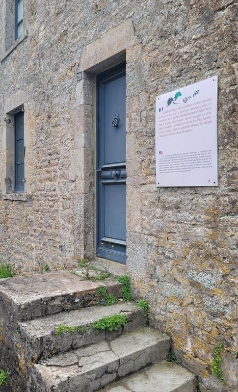
2. The marker at the entrance to the building
Also see . . . D-Day, Drop Zone C And Remarkable Bravery At Sainte-Marie-Du-Mont. Normandy Then and Now
Tucked away in the marshy country of the Manche, just 3 ½ miles from an east facing beach, is the village of Saint-Marie-du-Mont. The Mont in question is the slightest hill, raising Notre-Dame church at the heart of the village above occasional floods. It was not a village anyone thought about very much, until June 1944. Now people visit from across the world. That eastern beach is now known as Utah and Saint-Marie-du-Mont was the first community to be liberated on D-Day. A liberation that did not go to plan.(Submitted on December 15, 2025, by James Hulse of Medina, Texas.)
Photographed by James Hulse, June 6, 2025
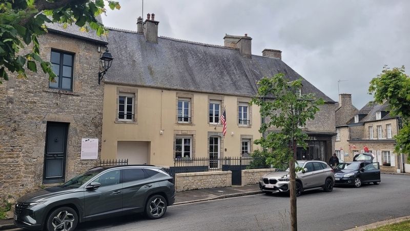
3. The view of the marker along the street
Credits. This page was last revised on December 15, 2025. It was originally submitted on December 14, 2025, by James Hulse of Medina, Texas. This page has been viewed 95 times since then and 66 times this year. Photos: 1, 2, 3. submitted on December 15, 2025, by James Hulse of Medina, Texas.
