
Near Falls of Rough in Breckinridge County, Kentucky — The American South (East South Central)
B-52F–KC-135A Mid-Air Collision
Photographed by Duane and Tracy Marsteller, December 1, 2025
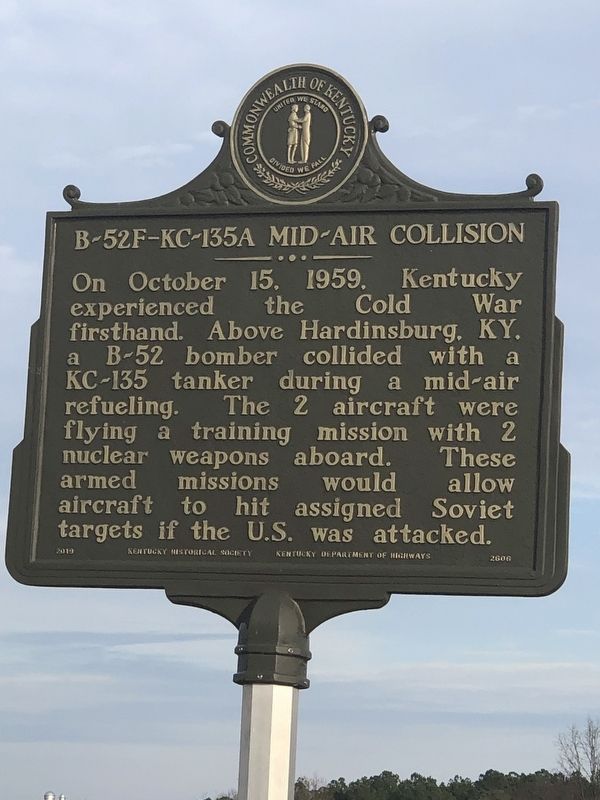
1. B-52F–KC-135A Mid-Air Collision Marker, Side One
On October 15, 1959. Kentucky experienced the Cold War firsthand. Above Hardinsburg, KY. a B-52 bomber collided with a KC-135 tanker during a mid-air refueling. The 2 aircraft were flying a training mission with 2 nuclear weapons aboard. These armed missions would aircraft to hit assigned allow Soviet targets if the U.S. was attacked.
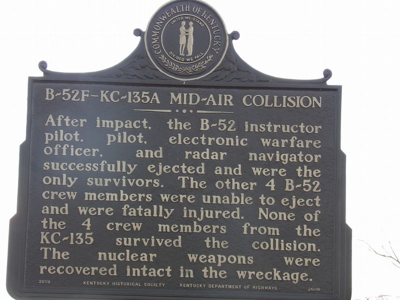
After impact, the B-52 instructor pilot, pilot, electronic warfare officer, and radar navigator successfully ejected and were the only survivors. The other 4 B-52 crew members were unable to eject and were fatally injured. None of the 4 crew members from the KC-135 survived the collision. The nuclear weapons were recovered intact in the wreckage.
Erected 2019 by Kentucky Historical Society • Kentucky Department of Highways. (Marker Number 2606.)
Topics and series. This historical marker is listed in these topic lists: Air & Space • Disasters. In addition, it is included in the Kentucky Historical Society series list. A significant historical date for this entry is October 15, 1959.
Location. 37° 39.875′ N, 86° 35.288′ W. Marker is near Falls of Rough, Kentucky, in Breckinridge County. It
this page online

Regionally, this marker is in Kentucky’s Western Coal Field. It is also in the American South, specifically in the Upper South, and in the Ohio River Valley. Globally, it is in North America, the Western Hemisphere, the Western World, and the Anglosphere. Historically, it finds itself in what was once the territory of the Mississippian Culture and also the Antebellum South.
Other nearby markers. At least 8 other markers are within 11 miles of this marker, measured as the crow flies: Green Mill (approx. 5.6 miles away); Revolutionary War Soldier (approx. 5.7 miles away); Shelter for Lincolns (approx. 10.3 miles away); In Memory of (approx. 10.6 miles away); Courthouse Burned (approx. 10.6 miles away); Breckinridge County War War I Honor Roll (approx. 10.6 miles away); County Named, 1799 (approx. 10.6 miles away); Town of Patesville (approx. 10.8 miles away).
Photographed by Duane and Tracy Marsteller, December 1, 2025
2. B-52F–KC-135A Mid-Air Collision Marker, Side Two
Photographed by Duane and Tracy Marsteller, December 1, 2025
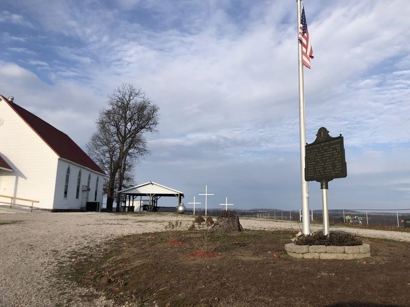
3. B-52F–KC-135A Mid-Air Collision Marker
Credits. This page was last revised on December 22, 2025. It was originally submitted on December 15, 2025, by Duane and Tracy Marsteller of Murfreesboro, Tennessee. This page has been viewed 101 times since then and 56 times this year. Photos: 1, 2, 3. submitted on December 15, 2025, by Duane and Tracy Marsteller of Murfreesboro, Tennessee. • Devry Becker Jones was the editor who published this page.
