
Greymouth in Grey District, West Coast Region, New Zealand — Southwestern Pacific Ocean
The Purchase of Westland: 1860
Photographed by Shirley A Stirling, December 16, 2025
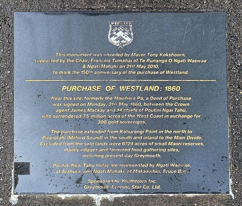
1. The Purchase of Westland: 1860 Marker
This monument was unveiled by Mayor Tony Kokshoorn, supported by the Chair, Francois Tumahai of Te Runanga o Ngati Waewae & Ngati Mahaki on 21st May 2010, to mark the 150th anniversary of the purchase of Westland.
Purchase of Westland: 1860
Near this site, formerly the Mawhera Pa, a Deed of Purchase was signed on Monday, 21st May 1860, between the Crown agent James Mackay and 14 chiefs of Poutini Ngai Tahu, who surrendered 7.5 million acres of the West Coast in exchange for 300 gold sovereigns.
The purchase extended from Kahurangi Point in the north to Piopiotahi (Milford Sound) in the south and inland to the Main Divide. Excluded from the sold lands were 6724 acres of small Maori reserves, mainly villages and favoured food gathering sites, including present day Greymouth.
Poutini Ngai Tahu today are represented by Ngati Waewae, at Arahura, and Ngati Mahaki, at Makaawhio, Bruce Bay.
Erected 2010 by Youthtown Inc. Greymouth Evening Star Co. Ltd.
Topics. This historical marker is listed in this topic list: Industry & Commerce. A significant historical date for this entry is May 21, 1860.
Location. 42° 26.925′ S, 171° 12.81′ E.
this page online

Regionally, it is in Oceania, in Australasia, in Polynesia, in the Pacific Ocean, on the Ring of Fire, on the Pacific Rim, in the Western World, and in the Anglosphere. Historically, it finds itself in what was once a British colony.
Other nearby markers. At least one other marker is within walking distance of this marker: Goldrush (within shouting distance of this marker).
Photographed by Shirley A Stirling, December 16, 2025
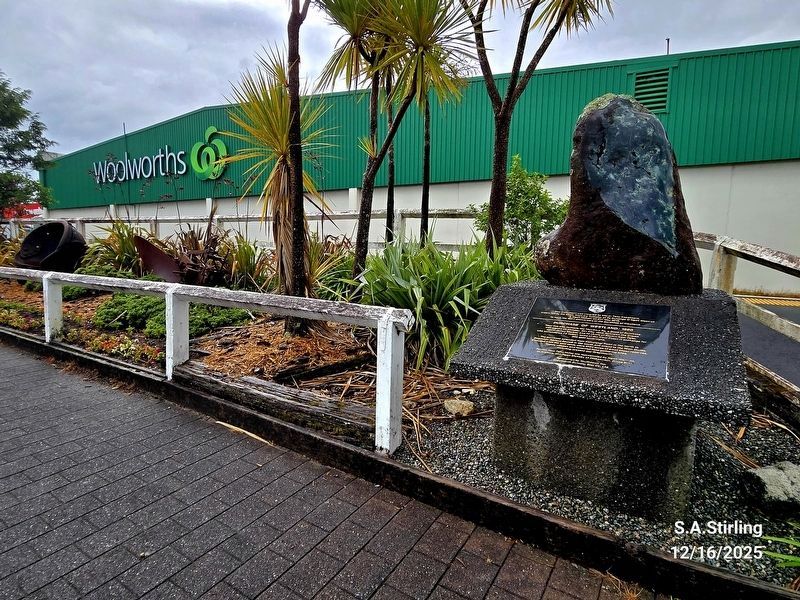
2. Purchase of Westland: 1860 Marker
Credits. This page was last revised on December 30, 2025. It was originally submitted on December 16, 2025, by Shirley A Stirling of Lacey, Washington. This page has been viewed 82 times since then and 45 times this year. Photos: 1. submitted on December 16, 2025, by Shirley A Stirling of Lacey, Washington. 2. submitted on December 22, 2025, by Shirley A Stirling of Lacey, Washington. • Andrew Ruppenstein was the editor who published this page.
