
Waimea in Hawaii County, Hawaii — Hawaiian Island Archipelago (Pacific Ocean)
Imiola Congregational Church
Hawaii Visitors Bureau Marker
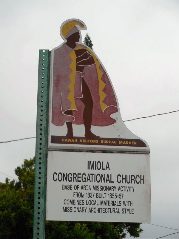
Photographed by Jimmy Emerson, Sept 2016
1. Imiola Congregational Church Marker
Erected by Hawaii Visitors Bureau.
Topics. This historical marker is listed in these topic lists: Architecture • Religion & Religious Structures. A significant historical year for this entry is 1837.
Location. 20° 1.544′ N, 155° 39.784′ W. Marker is in Waimea, Hawaii, in Hawaii County. It is on Church Road north of Hawai'i Belt Road, on the right when traveling north. Touch for map. Marker is in this post office area: Kamuela HI 96743, United States of America. Touch for directions.

Regionally, this marker is on the Kona Coast and in the Volcanic Hawaii. Globally, it is in North America, Polynesia, the Pacific Ocean, North Pacific, the Pacific Rim, the Western Hemisphere, the Western World, and the Anglosphere.
Other nearby markers. At least 8 other markers are within 11 miles of this marker, measured as the crow flies: Waiomina Centennial (approx. 0.4 miles away); The Hawaiian Cowboys (approx. 0.4 miles away); Camp Tarawa 1943-1945 (approx. 1.2 miles away); Pu'ukohola Heiau National
this page online
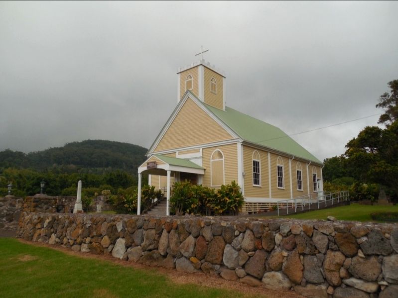
Photographed by Jimmy Emerson, Sept 2016
2. Imiola Congregational Church
The marker is on the road in front of the church.
Credits. This page was last revised on December 17, 2025. It was originally submitted on December 17, 2025, by Jimmy Emerson of Dalton, Georgia. This page has been viewed 48 times since then and 24 times this year. Photos: 1, 2. submitted on December 17, 2025, by Jimmy Emerson of Dalton, Georgia. • Devry Becker Jones was the editor who published this page.
