Seminole in Gaines County, Texas — The American South (West South Central)
Seminole
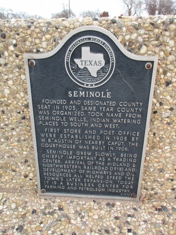
Photographed by Jeff Leichsenring, December 15, 2025
1. Seminole Marker
Erected 1970 by State Historical Survey Committee. (Marker Number 4636.)
Topics. This historical marker is listed in this topic list: Settlements & Settlers. A significant historical year for this entry is 1905.
Location. 32° 43.178′ N, 102° 39.012′ W. Marker is in Seminole, Texas, in Gaines County. It is at the intersection of State Highway 214 and NW 5th St, on the right when traveling north on State Highway 214. Heritage Park, triangle between SH 214, NW Ave. B and NW 5th St. Marker is mounted on low wall. Touch for map. Marker is in this post office area: Seminole TX 79360, United
this page online

Regionally, this marker is on the South Plains. It is also on the American Great Plains and specifically on the Southern Plains. Globally, it is in North America, a Gulf of Mexico state, the Western Hemisphere, the Western World, and the Anglosphere. Historically, it finds itself in what was once New Spain, the Republic of Texas, and one of the Confederate States of America.
Other nearby markers. At least 5 other markers are within 8 miles of this marker, measured as the crow flies: Gaines County (here, next to this marker); Gaines County Veterans Memorial (approx. 0.3 miles away); a different marker also named Gaines County (approx. 0.3 miles away); Dan Cobb (approx. 0.3 miles away); Oil Industry in Gaines County (approx. 7.8 miles away).
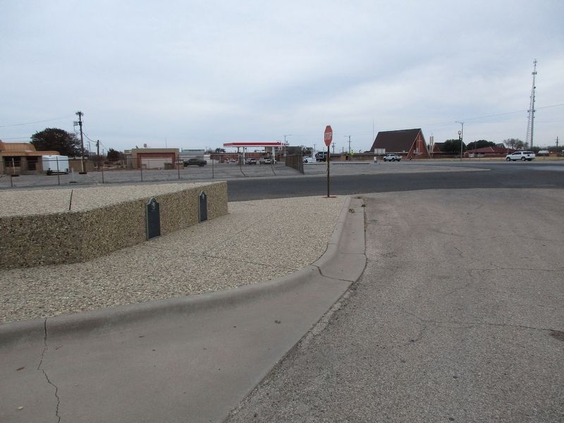
Photographed by Jeff Leichsenring, December 15, 2025
2. Seminole Marker
Marker is on the left; Gaines County marker (2094) is on the right.
Credits. This page was last revised on December 20, 2025. It was originally submitted on December 19, 2025, by Jeff Leichsenring of Garland, Texas. This page has been viewed 80 times since then and 51 times this year. Photos: 1, 2. submitted on December 19, 2025, by Jeff Leichsenring of Garland, Texas. • James Hulse was the editor who published this page.
