Timonium in Baltimore County, Maryland — The American Northeast (Mid-Atlantic)
Brooklandwood
1798
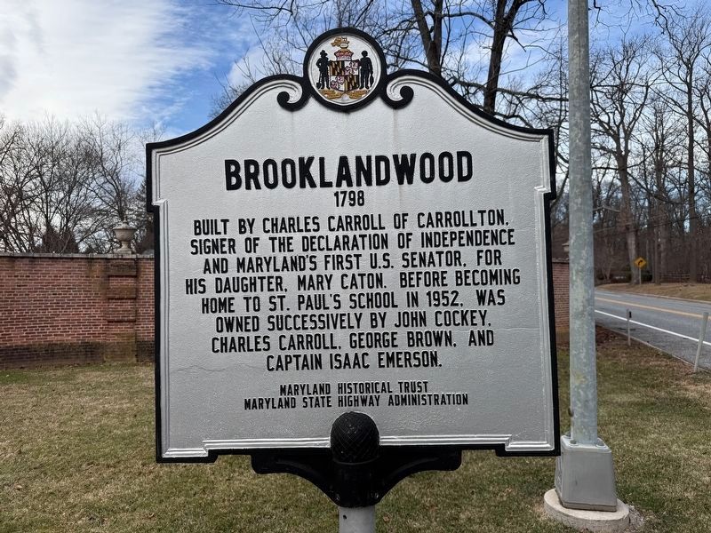
Erected by Maryland Historical Trust, Maryland State Highway Administration.
Topics and series. This historical marker is listed in these topic lists: Government & Politics • Settlements & Settlers • War, US Revolutionary. In addition, it is included in the Maryland Historical Trust, and the Signers of the Declaration of Independence series lists. A significant historical year for this entry is 1952.
Location. 39° 25.969′ N, 76° 40.593′ W. Marker is in Timonium, Maryland, in Baltimore County. It is at the intersection of Falls Road (Maryland Route 25) and Hamilton Circle, on the right when traveling east on Falls Road. Touch for map. Marker is at or near this postal address: 11226 Falls Rd, Lutherville Timonium MD 21093, United States of America. Touch for directions.

Regionally, this marker is in the Baltimore Metro Region
this page online
Other nearby markers. At least 8 other markers are within 3 miles of this marker, measured as the crow flies: Saters Church (approx. 0.4 miles away); Axios Farms (approx. 0.6 miles away); a different marker also named Sater’s Church (approx. 0.6 miles away); Hunt’s Church (approx. 2 miles away); Rockland (approx. 2.3 miles away); Baltimore and Susquehanna Railroad Marble Track Bed (approx. 2.4 miles away); Jones Falls Watershed (approx. 2.4 miles away); Baltimore & Susquehanna Railroad Marble Track Bed (approx. 2½ miles away). Touch for a list and map of all markers in Timonium.
Another marker is no longer nearby. Brooklandwood Plantation (was here, next to this marker but has been replaced with another marker now near it).
Related marker. Click here

Credits. This page was last revised on December 21, 2025. It was originally submitted on December 21, 2025, by Devry Becker Jones of Washington, District of Columbia. This page has been viewed 78 times since then and 52 times this year. Photos: 1, 2. submitted on December 21, 2025, by Devry Becker Jones of Washington, District of Columbia.
Editor’s want-list for this marker. Current photos of the buildings on the estate (after gaining permission from the school) • Can you help?
