Courtland in Lawrence County, Alabama — The American South (East South Central)
Early Roads / One of the South's First Railroads 1832
Side A
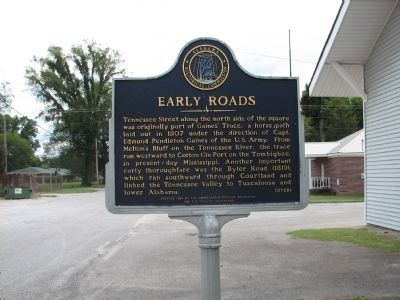
Tennessee Street along the north side of the square was originally part of Gaines’ Trace, a horse path laid out in 1807 under the direction of Capt. Edmund Pendleton Gaines of the U. S. Army. From Melton’s Bluff on the Tennessee River, the trace ran westward to Cotton Gin Port on the Tombigbee, in present-day Mississippi. Another important early thoroughfare was the Byler Road (1819), which ran southward through Courtland and linked the Tennessee Valley to Tuscaloosa and lower Alabama.
Side B
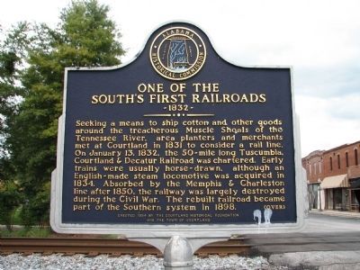
Seeking a means to ship cotton and other goods around the treacherous Muscle Shoals of the Tennessee River, area planters and merchants met at Courtland in 1831 to consider a rail line. On January 13, 1832, the 50-mile long Tuscumbia, Courtland & Decatur railroad was chartered. Early trains were usually horse-drawn, although an English-made steam locomotive was acquired in 1834. Absorbed by the Memphis & Charleston line after 1850, the railway was largely destroyed during the Civil War. The rebuilt railroad became part of the Southern system in 1898.
Erected 1994 by the Courtland Historical Foundation and the Town of Courtland.
Topics. This historical marker is listed in these topic lists: Railroads & Streetcars • Roads & Vehicles • Settlements & Settlers. A significant historical month for this entry is January 1836.
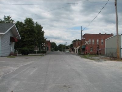
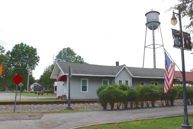
Location. 34° 39.968′ N, 87° 18.627′ W. Marker is in Courtland, Alabama, in Lawrence County. Marker is on College St.. Located in front of Old Train Depot across train tracks, past Square Park in Courtland. Touch for map. Marker is at or near this postal address: 284 College St, Courtland AL 35618, United States of America. Touch for directions.
Other nearby markers. At least 8 other markers are within walking distance of this marker. American Legion - Post 58 (a few steps from this marker); Courtland's Early Architecture (within shouting distance of this marker); The Red Rovers / Red Rovers Roster (within shouting distance of this marker); The Town of Courtland / Early Settlers (about 300 feet away, measured in a direct line); The African ~ American Experience (about 300 feet away); A Cotton Kingdom (about 300 feet away); Courtland Presbyterian Church (approx. 0.2 miles away); Harris-Simpson Home (approx. 0.2 miles away). Touch for a list and map of all markers in Courtland.
Credits. This page was last revised on September 13, 2020. It was originally submitted on March 24, 2010, by Sandra Hughes Tidwell of Killen, Alabama, USA. This page has been viewed 3,251 times since then and 74 times this year. Photos: 1, 2, 3. submitted on March 24, 2010, by Sandra Hughes Tidwell of Killen, Alabama, USA. 4. submitted on September 12, 2020, by Tom Bosse of Jefferson City, Tennessee. • Bill Pfingsten was the editor who published this page.


