Near Natchez in Natchitoches Parish, Louisiana — The American South (West South Central)
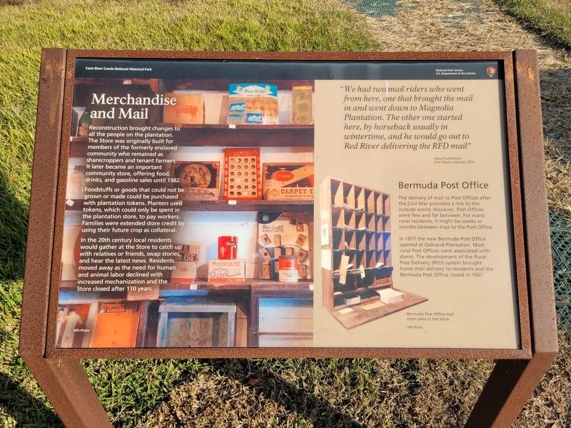
Merchandise and Mail
Photographed by James Hulse, December 18, 2025
1. Merchandise and Mail Marker
Foodstuffs or goods that could not be grown or made could be purchased with plantation tokens. Planters used tokens, which could only be spent in the plantation store, to pay workers. Families were extended store credit by using their future crop as collateral.
In the 20th century local residents would gather at the Store to catch up with relatives or friends, swap stories, and hear the latest news. Residents moved away as the need for human and animal labor declined with increased mechanization and the Store closed after 110 years.
"We had two mail riders who went from here, one that brought the mail in and went down to Magnolia Plantation. The other one started here, by horseback usually in wintertime, and he would go out to Red River delivering the RFD mail"
Mayo Prud homme Oral History Interview, 2015
Bermuda Post Office
The
this page online
In 1877 the new Bermuda Post Office opened at Oakland Plantation. Most rural Post Offices were associated with stores. The development of the Rural Free Delivery (RFD) system brought home mail delivery to residents and the Bermuda Post Office closed in 1967.
Captions
(Photo #1) NPS Photo
(Photo #2) Bermuda Post Office mail room area in the Store. NPS Photo
Erected by Cane River Creole National Historical Park, National Park Service, US. Department of the Interior.
Topics. This historical marker is listed in this topic list: Industry & Commerce. A significant historical year for this entry is 1982.
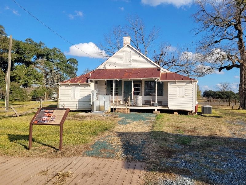
Location. 31° 39.906′ N, 93° 0.125′ W. Marker is near Natchez, Louisiana, in Natchitoches Parish. It is at the intersection of State Highway 494 and State Highway 119 on State Highway 494. The marker is located on the grounds of the Oakland Plantation (Cane River Creole National Historic Park). Touch for map.
Photographed by James Hulse, December 18, 2025
2. Merchandise and Mail and Marker

Regionally, this marker is in Central Louisiana. It is also in the American South, specifically in the Deep South, and in the Piney Woods. Globally, it is in North America, a Gulf of Mexico state, the Western Hemisphere, the Western World, and the Anglosphere. Historically, it finds itself in what was once New Spain, the Viceroyalty of New France, the territory of the Mississippian Culture, the Louisiana Purchase, one of the Confederate States of America, and the Antebellum South.
Other nearby markers. At least 8 other markers are within walking distance of this marker: Bois d'arc (a few steps from this marker); Jujube Trees (a few steps from this marker); The Enslaved Nanny's Room (within shouting distance of this marker); The Sound of Time (within shouting distance of this marker); The Oak Allée & Bottle Garden (within shouting distance of this marker); A Canopied Path (within shouting distance of this marker); Maker of Most Things Wood (within shouting distance of this marker); How Do You Say Pecan

Photographed by James Hulse, December 18, 2025
3. Merchandise and Mail Marker
The view inside the store.
Credits. This page was last revised on December 23, 2025. It was originally submitted on December 23, 2025, by James Hulse of Medina, Texas. This page has been viewed 57 times since then and 30 times this year. Photos: 1, 2, 3. submitted on December 23, 2025, by James Hulse of Medina, Texas.
