Collegeport in Matagorda County, Texas — The American South (West South Central)
First Presbyterian Church of Collegeport
Photographed by James Hulse, March 11, 2021
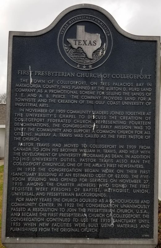
1. First Presbyterian Church of Collegeport Marker
The town of Collegeport, on Tres Palacios Bay in Matagorda County, was planned by the Burton D. Hurd Land Company as a promotional scheme for selling the lands of J.E. and A.B. Pierce. The company provided land for a townsite and the creation of the Gulf Coast University of Industrial Arts.
In November of 1909 community leaders joined together at the University's Chapel to discuss the creation of Collegeport Federated Church. Representing fourteen denominations, the congregations early mission was to unify the community and support a common church for all citizens. Murray A. Travis was called as the first pastor of the church.
Pastor Travis had moved to Collegeport in 1909 from Canada to join his brother William H. Travis, and help with the development of university programs as dean. In addition to his university duties, Pastor Travis also ran the Collegeport Chronicle, one of the area's first newspapers.
In 1910 the congregation began work on their first sanctuary building at an estimated cost of $2,000. The five-room building was opened for services on November 27, 1910. Among the charter members who signed the first register were persons of Baptist, Methodist, Union, Universal, and Presbyterian backgrounds.
For many years the church doubled as a schoolhouse and community center. In 1922 the congregation unanimously passed a resolution to join the Presbyterian Church, U.S.A., and became the First Presbyterian Church of Collegeport. The congregation continued to use the 1910 sanctuary until 1955 when new facilities were built using materials and furnishings from the original church.
Erected 1999 by Texas Historical Commission. (Marker Number 12062.)
Topics. This historical marker is listed in this topic list: Religion & Religious Structures. A significant historical month for this entry is November 1909.
Location. 28° 43.466′ N,
this page online

Regionally, this marker is in the American South and on the Gulf Coast. Globally, it is in North America, a Gulf of Mexico state, the Western Hemisphere, the Western World, and the Anglosphere. Historically, it finds itself in what was once New Spain, the Republic of Texas, one of the Confederate States of America, and the Antebellum South.
Other nearby markers. At least 8 other markers are within 3 miles of this marker, measured as the crow flies: Collegeport (about 300 feet away, measured in a direct line); Pilkington Slough Ranch (approx. 1½ miles away); Palacios Preparatory School (approx. 2.4 miles away); Lions Pier (approx. 2.4 miles away); First United Methodist Church of Palacios (approx. 2½ miles away); First Baptist Church of Palacios (approx.
Photographed by James Hulse, March 11, 2021
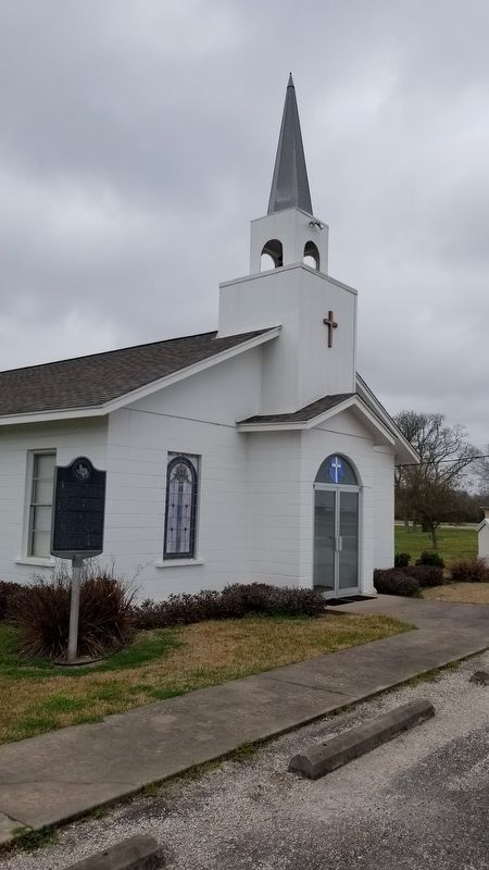
2. The front entrance of the First Presbyterian Church of Collegeport
Photographed by James Hulse, March 11, 2021
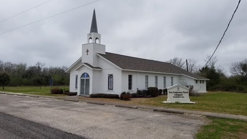
3. The view of the First Presbyterian Church of Collegeport
Credits. This page was last revised on December 28, 2025. It was originally submitted on March 21, 2021, by James Hulse of Medina, Texas. This page has been viewed 360 times since then and 52 times this year. Last updated on December 26, 2025, by Joe Lotz of Flower Mound, Texas. Photos: 1, 2, 3. submitted on March 21, 2021, by James Hulse of Medina, Texas. • Devry Becker Jones was the editor who published this page.
