Near Wichita Falls in Wichita County, Texas — The American South (West South Central)
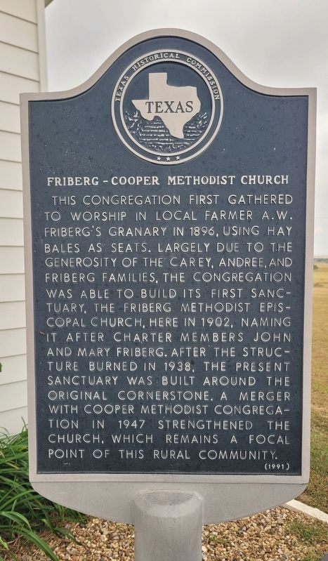
Friberg-Cooper Methodist Church
Photographed by James Hulse, October 27, 2025
1. Friberg - Cooper Methodist Church Marker
Erected 1991 by Texas Historical Commission. (Marker Number 2061.)
Topics. This historical marker is listed in this topic list: Religion & Religious Structures. A significant historical year for this entry is 1896.
Location. 33° 59.984′ N, 98° 27.425′ W. Marker is near Wichita Falls, Texas, in Wichita County. It is at the intersection of Friberg Church Road and Upper Charlie Road (Farm to Market Road 171), on the right when traveling south on Friberg Church Road. The marker is located at the entrance of the church. Touch for map. Marker is at or near this postal address: 5511 Friberg Church Rd, Wichita Falls TX 76305, United States of America. Touch for directions.

Regionally, this marker is in Big Country. Globally, it is in North America, a Gulf of Mexico state, the Western Hemisphere, the Western World, and the Anglosphere. Historically, it finds itself in what was once New Spain, the Comanchería, the Republic of Texas, and one of the Confederate States of America.
Other nearby markers. At least 8 other markers are within 6 miles of this marker, measured as the crow flies: Site of Friberg School (about 300 feet away, measured in a direct line); Sheppard Air Force Base (approx. 4 miles away); “Maintenance Man Statue"
this page online
Photographed by James Hulse, October 27, 2025
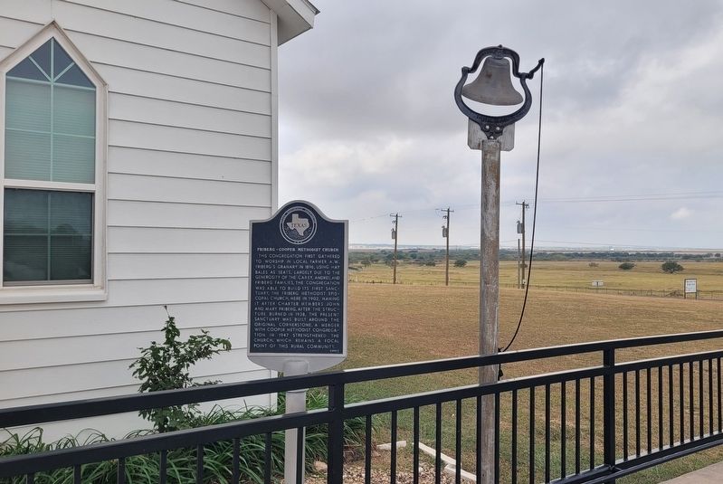
2. The Friberg - Cooper Methodist Church Marker and Bell
Photographed by James Hulse, October 27, 2025
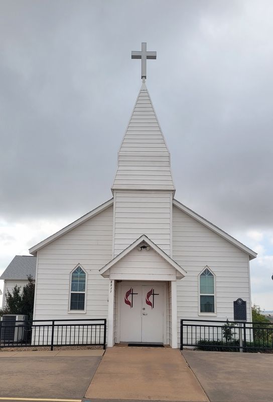
3. The front view of the Friberg - Cooper Methodist Church and Marker
Photographed by James Hulse, October 27, 2025
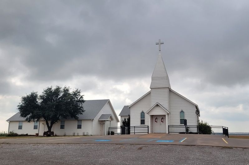
4. The view of the Friberg - Cooper Methodist Church from the street
Credits. This page was last revised on February 19, 2026. It was originally submitted on October 30, 2025, by James Hulse of Medina, Texas. This page has been viewed 60 times since then and 30 times this year. Last updated on December 26, 2025, by Joe Lotz of Flower Mound, Texas. Photos: 1, 2, 3, 4. submitted on October 31, 2025, by James Hulse of Medina, Texas. • Devry Becker Jones was the editor who published this page.
