Saint Jo in Montague County, Texas — The American South (West South Central)
Head of Elm
(Saint Jo)
| — | Historic Camp Site | — |
Photographed by Mark Hilton, July 21, 2016
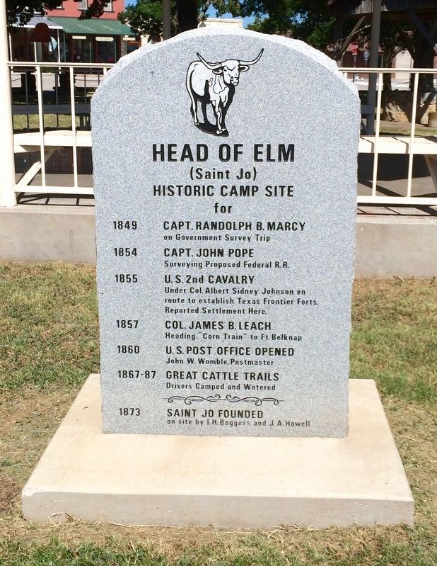
1. Head of Elm Marker
(Saint Jo)
Historic Camp Site
for
1854 Capt. John Pope surveying proposed federal R.R.
1855 U.S. 2nd Cavalry Under Col. Albert Sidney Johnson en route to establish Texas Frontier Forts. Reported Settlement here.
1857 Col. James B. Leach Heading "Corn Train" to Ft. Belknap
1860 U.S. Post Office Opened. John W. Womble, Postmaster
1867-87 Great Cattle Trails. Drivers Camped and Watered
1873 Saint Jo Founded on site by I.H. Boggess and J.A. Howell
Erected by Texas Historical Commission. (Marker Number 2416.)
Topics. This historical marker is listed in these topic lists: Forts and Castles • Notable Places • Settlements & Settlers. A significant historical year for this entry is 1849.
Location. 33° 41.714′ N, 97° 31.361′ W. Marker is in Saint Jo, Texas, in Montague County. It is at the intersection of South Broad Street and East Howell Street, on the left when traveling south on South Broad Street. Touch for map. Marker is at or near this postal address: South Broad Street, Saint Jo TX 76265, United States of America.
this page online

Regionally, this marker is in the Prairies & Lakes Region. Globally, it is in North America, a Gulf of Mexico state, the Western Hemisphere, the Western World, and the Anglosphere. Historically, it finds itself in what was once New Spain, the Comanchería, the Republic of Texas, and one of the Confederate States of America.
Other nearby markers. At least 8 other markers are within 12 miles of this marker, measured as the crow flies: Stonewall Saloon (within shouting distance of this marker); Town of Saint Jo (approx. ¼ mile away); Head of Elm Cemetery (approx. ¼ mile away); The Phillips House (approx. half a mile away); Muenster (approx. 8.8 miles away); Montague Catholic Cemetery (approx. 10.8 miles away); Montague Cemetery (approx. 11.4 miles away); 1927 Montague County Jail (approx. 11½ miles away). Touch for a list and map of all markers in Saint Jo.
Also see . . . Texas State Historical Association article about Saint Jo and Head of Elm. (Submitted on August 11, 2016, by Mark Hilton of Montgomery, Alabama.)
Photographed by Mark Hilton, July 21, 2016
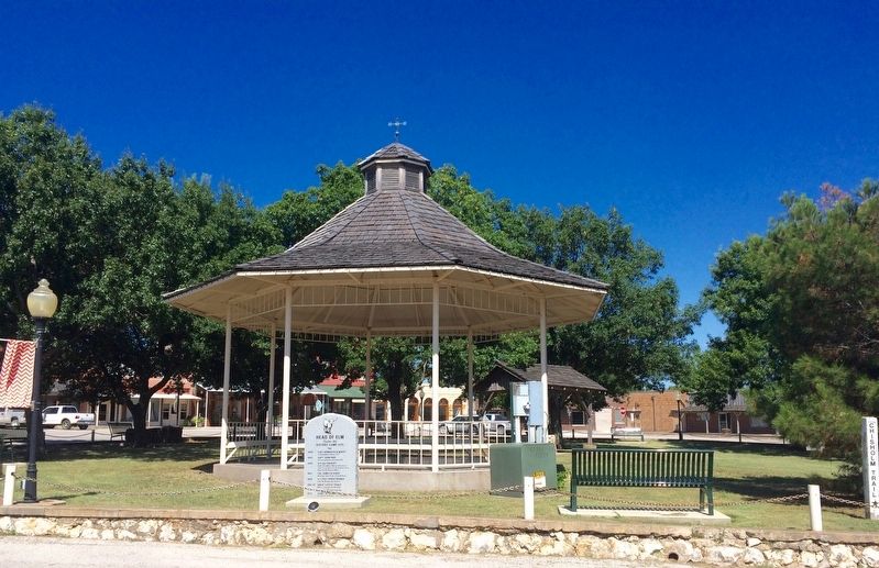
2. Head of Elm Marker at town gazebo.
Photographed by Mark Hilton, July 21, 2016
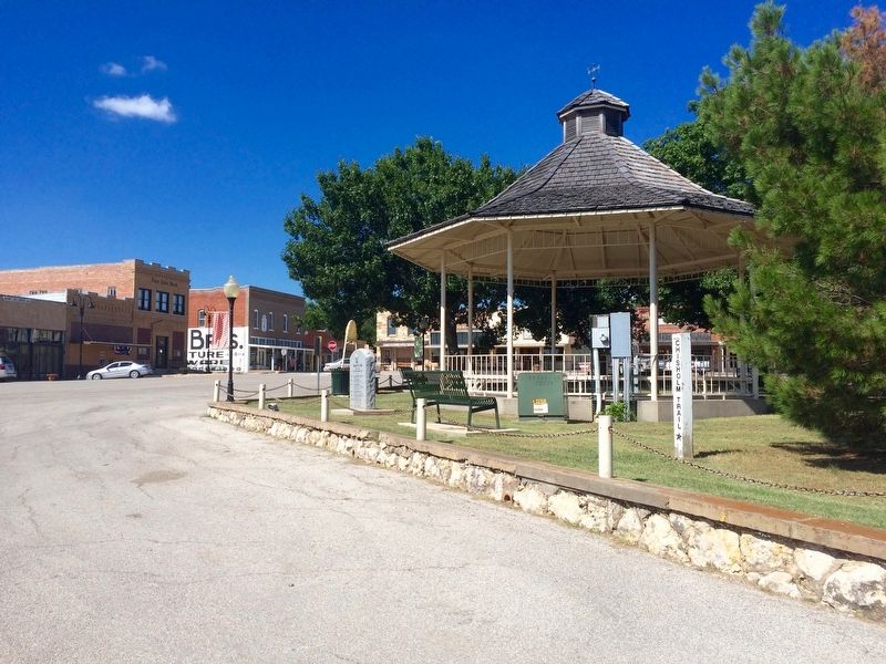
3. Head of Elm Marker, gazebo and Chisholm Trail pole.
Credits. This page was last revised on December 28, 2025. It was originally submitted on August 11, 2016, by Mark Hilton of Montgomery, Alabama. This page has been viewed 893 times since then and 76 times this year. Last updated on December 26, 2025, by Joe Lotz of Flower Mound, Texas. Photos: 1, 2, 3. submitted on August 11, 2016, by Mark Hilton of Montgomery, Alabama. • Devry Becker Jones was the editor who published this page.
