
Hereford in Deaf Smith County, Texas — The American South (West South Central)
Two-Wheel Fire Hose Reel
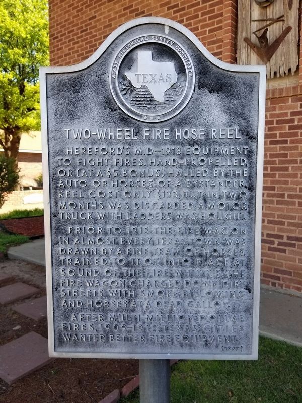
Photographed by Allen Lowrey, May 23, 2020
1. Two-Wheel Fire Hose Reel Marker
Erected 1967 by State Historical Survey Committee. (Marker Number 5584.)
Topics. This historical marker is listed in this topic list: Disasters.
Location. 34° 49.122′ N, 102° 23.949′ W. Marker is in Hereford, Texas, in Deaf Smith County. It is on Sampson Street north of East 4th Street, on the right when traveling north. Touch for map. Marker is at or near this postal address: 400 Sampson Street, Hereford TX 79045, United States of America. Touch for directions.

Regionally, this marker is on the Texas Panhandle. It is also
this page online
Other nearby markers. At least 8 other markers are within walking distance of this marker: Former Site of St. Anthony's Catholic School (here, next to this marker); Ghost Towns (a few steps from this marker); Deaf Smith Courthouse (about 500 feet away, measured in a direct line); Deaf Smith County (about 500 feet away); Quanah Parker Trail (about 600 feet away); Pioneer Windmill (approx. ¼ mile away); a different marker also named Quanah Parker Trail (approx. 0.3 miles away); Mothers Park (approx. 0.3 miles away). Touch for a list and map of all markers in Hereford.
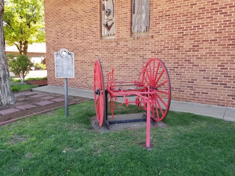
Photographed by Allen Lowrey, May 23, 2020
2. Two-Wheel Fire Hose Reel Marker
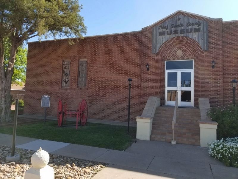
Photographed by Allen Lowrey, May 23, 2020
3. Two-Wheel Fire Hose Reel Marker
Credits. This page was last revised on December 28, 2025. It was originally submitted on May 24, 2020, by Allen Lowrey of Amarillo, Texas. This page has been viewed 369 times since then and 46 times this year. Last updated on December 26, 2025, by Joe Lotz of Flower Mound, Texas. Photos: 1, 2, 3. submitted on May 24, 2020, by Allen Lowrey of Amarillo, Texas. • Devry Becker Jones was the editor who published this page.
