Vierville-sur-Mer in Calvados, Normandy, France — Western Europe
La Cloche
⎯⎯⎯
The Bell
Photographed by James Hulse, June 4, 2025
1. La Cloche / The Bell Marker

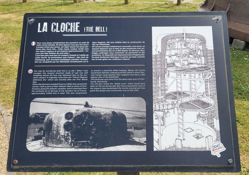
Vous vous posez certainement des questions au sujet de cette cloche blindée. Eh bien figurez-vous que moi aussi ! Lorsque j'étais plus jeune, cet objet massif me laissa perplexe plus d'une fois... Cette masse couleur rouille avec son aspect rugueux et ses impacts impressionnants - encore une idée farfelue de mon père !
C'est bien plus tard que j'ai compris l'intérêt et l'utilité de cette cloche. Sa provenance tout d'abord : elle vient de Cherbourg, port normand stratégique pendant l'occupation où, récupérée par les Allemands certainement sur la ligne Maginot, elle sera utilisée dans la construction du Mur de l'Atlantique.
60 tonnes presque entièrement ensevelies sous terre, ne laissant dépasser que le haut où des ouvertures tout azimut permettaient des tirs à 360 degrés. En dessous, deux étages aménagés pour acheminer du personnel et des munitions. Ce dispositif est impressionnant d'ingéniosité. On peut facilement distinguer la partie qui était orientée vers la mer grâce aux nombreux impacts.
You may be wondering what this is; so did I. When I was younger, this massive structure made of
this page online
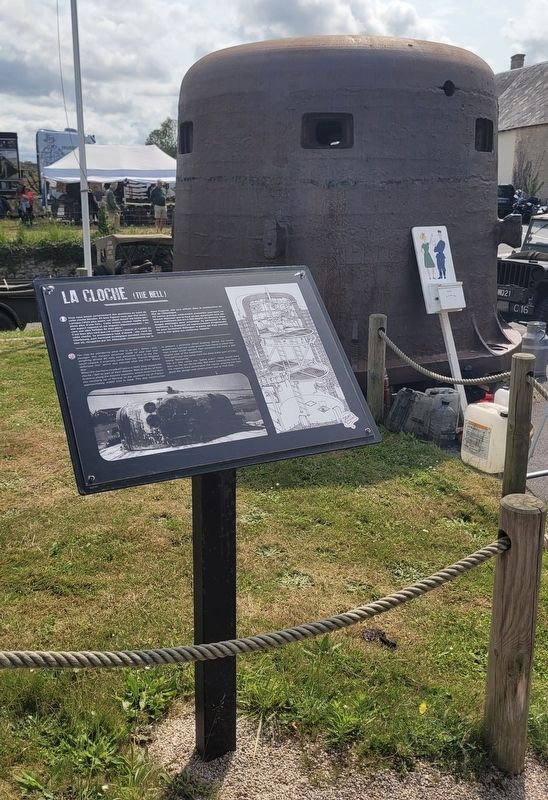
When the Germans invaded France in 1940, they reused this cloche/bell as part of their Atlantic Wall (a series of fortifications along the Atlantic coastline, which stretched from the northerly tip of Norway to the southern tip of France, approximately 4,000 kms in total. This was constructed to prevent a potential Allied landing). Below, the cloche would have had two underground floor levels in which German troops could operate their weapons and have a 360 degree view of the battlefield.
This particular one came from the deep water port of Cherbourg, Normandy.
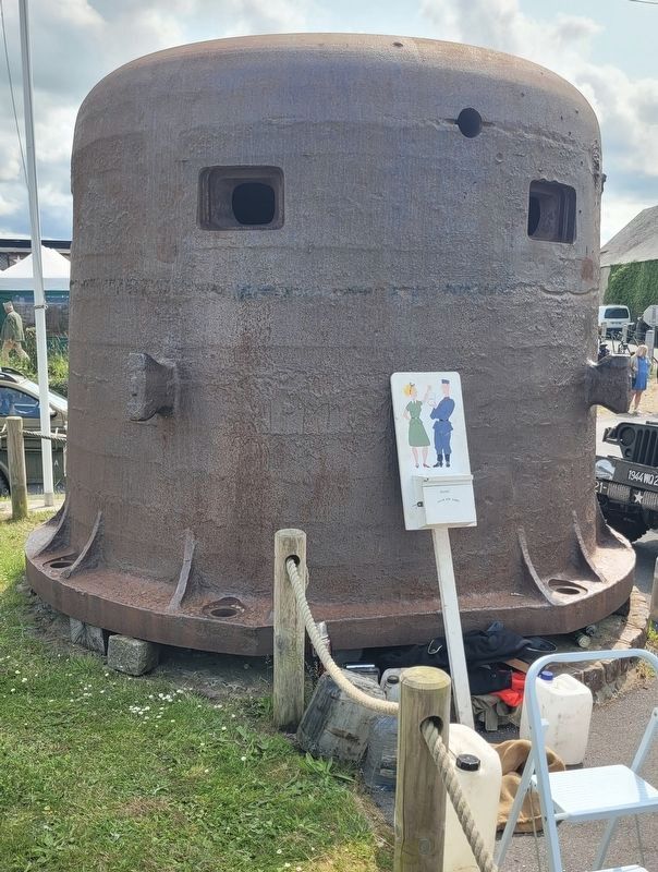
You will also notice the "battle scars": these would have been on the sea facing side. But more importantly none of the impacts have penetrated the cloche, proving just how good the design and construction was at that time.
Erected by DDay Omaha Museum.
Topics. This historical marker is listed in this topic list: War, World II. A significant historical year for this entry is 1940.
Location. 49° 22.509′ N,
Photographed by James Hulse, June 4, 2025
2. La Cloche / The Bell Marker

Regionally, it is in the North Atlantic Region, Europe, the European Union, Atlantic Europe, the Schengen Area, Western Europe, a coastal Mediterranean country, and the Western World. Historically, it finds itself in what was once a French colony and also the Roman Empire.
Other nearby markers. At least 8 other markers are within walking distance of this marker: Les canons du Chacal / Guns of the French destroyer Le Chacal (here, next to this marker); Le Char M4 A4 Sherman / The M4 A4 Sherman Tank (a few steps from this marker); Le char Austerlitz / The Austerlitz tank (a few steps from this marker); Bulldozer Caterpillar (within shouting distance of this marker); 6th Engineer Special Brigade Memorial (approx. 0.4 kilometers away); 29th Infantry Division Memorial (approx. half a kilometer away); Jean Roger Sainteny (approx. 0.6 kilometers away); 29th Infantry Division at Vierville-sur-Mer (approx. 0.6 kilometers away). Touch for a list and map of all markers in Vierville-sur-Mer.
Photographed by James Hulse, June 4, 2025
3. La Cloche / The Bell Marker
Closeup view of the Bell.
Photographed by James Hulse, June 4, 2025
4. La Cloche / The Bell Marker
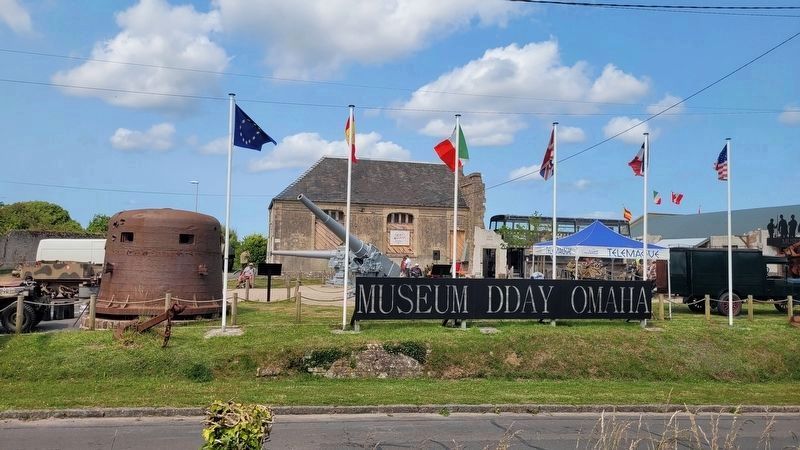
The view of the Bell in front of the Museum D Day Omaha.
Credits. This page was last revised on December 28, 2025. It was originally submitted on December 28, 2025, by James Hulse of Medina, Texas. This page has been viewed 62 times since then and 33 times this year. Photos: 1, 2, 3, 4. submitted on December 28, 2025, by James Hulse of Medina, Texas.
