Triangle in Prince William County, Virginia — The American South (Mid-Atlantic)
The Return from Yorktown
The King's Highway
Photographed by Kevin W., January 8, 2025
1. The Return from Yorktown Marker
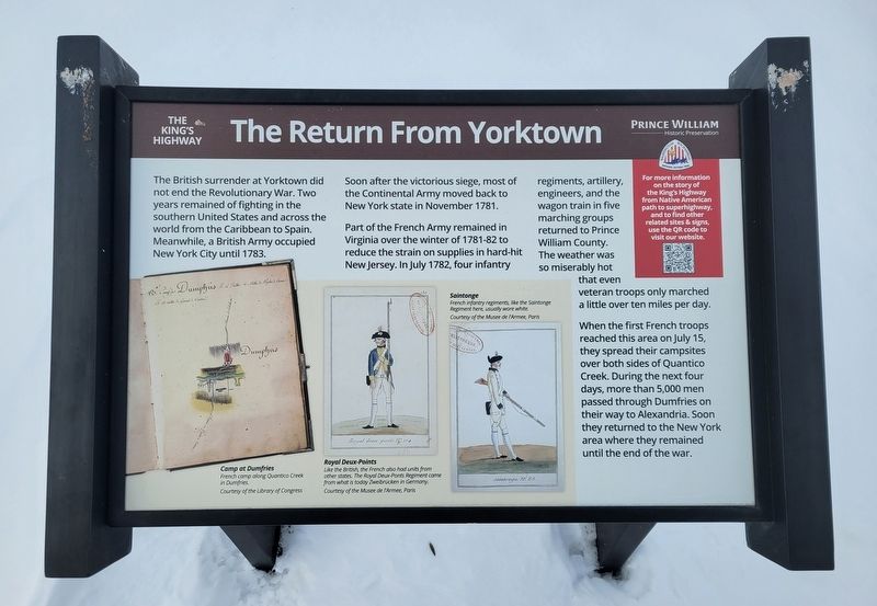
The British surrender at Yorktown did not end the Revolutionary War. Two years remained of fighting in the southern United States and across the world from the Caribbean to Spain. Meanwhile, a British Army occupied New York City until 1783.
Soon after the victorious siege, most of the Continental Army moved back to New York state in November 1781.
Part of the French Army remained in Virginia over the winter of 1781-82 to reduce the strain on supplies in hard-hit New Jersey. In July 1782, four infantry regiments, artillery, engineers, and the wagon train in five marching groups returned to Prince William County. The weather was so miserably hot that even veteran troops only marched a little over ten miles per day.
When the first French troops reached this area on July 15, they spread their campsites over both sides of Quantico Creek. During the next four days, more than 5,000 men passed through Dumfries on their way to Alexandria. Soon they returned to the New York area where they remained until the end of the war.
[Captions:]
Camp at Dumfries
French camp along Quantico Creek in Dumfries.
Courtesy of the Library of Congress
Royal Deux-Ponts
Like the British, the French also had units from other states. The Royal Deux-Ponts Regiment came from what is today Zweibrücken in Germany.
Courtesy of the Musee de l'Armee, Paris
Saintonge
French infantry regiments, like the Saintonge Regiment here, usually wore white. Courtesy of the Musee de l'Armee, Paris
Erected by Prince
this page online
Topics. This historical marker is listed in this topic list: War, US Revolutionary. A significant historical month for this entry is July 1782.
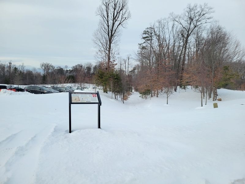
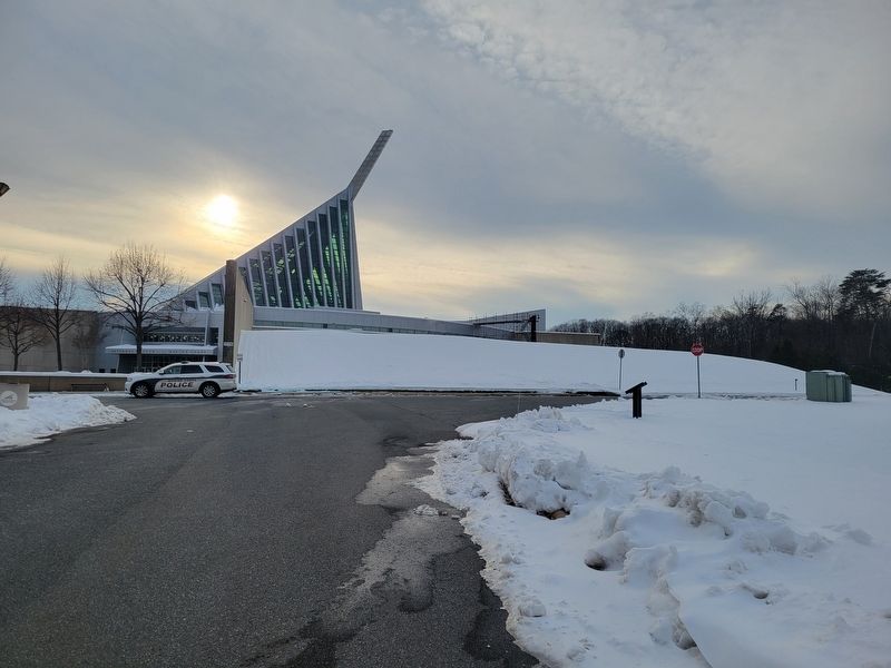
Location. 38° 32.709′ N, 77° 20.54′ W. Marker is in Triangle, Virginia, in Prince William County. It is on Semper Fidelis Way 0.2 miles west of Richmond Highway (U.S. 1), on the right when traveling west. The marker stands on the grounds of the National Museum of the Marine Corps, to the right of the main entrance. Touch for map. Marker is at or near this postal address: 1775 Semper Fidelis Way, Triangle VA 22172, United States of America. Touch for directions.

Regionally, this marker is in the Washington Metropolitan Area, in Northern Virginia, and in the Piedmont. It is also in the American South, specifically in the Upper South, in the Mid-Atlantic, and on the Eastern Seaboard. Globally, it is in the North Atlantic Region, North America, the Western Hemisphere, the Western World, and the Anglosphere. Historically, it finds itself in what was once the territory of the Mississippian Culture, one of the original Thirteen Colonies, one of the Confederate
Photographed by Kevin W., January 8, 2025
2. The Return from Yorktown Marker
Other nearby markers. At least 8 other markers are within walking distance of this marker: TBS Class 4-69 KIA (within shouting distance of this marker); 22nd Marines WWII (within shouting distance of this marker); LtCol Lew Dement USMC (within shouting distance of this marker); In Memoriam (within shouting distance of this marker); Col Wally Campbell (about 300 feet away, measured in a direct line); Col John R. Bates (about 300 feet away); Cpl Don Weber (about 300 feet away); Alfred Lerner (about 300 feet away). Touch for a list and map of all markers in Triangle.
Another marker is no longer nearby. The Potomac Path (was here, next to this marker but has been replaced with another marker now near it).
Photographed by Kevin W., January 8, 2025
3. The Return from Yorktown Marker
Credits. This page was last revised on December 28, 2025. It was originally submitted on January 11, 2025, by Kevin W. of Stafford, Virginia. This page has been viewed 212 times since then and 60 times this year. Last updated on December 28, 2025, by Thierry Chaunu of New York, New York. Photos: 1, 2, 3. submitted on January 11, 2025, by Kevin W. of Stafford, Virginia. • Devry Becker Jones was the editor who published this page.
