Annapolis in Anne Arundel County, Maryland — The American Northeast (Mid-Atlantic)
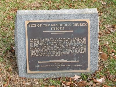
Site of the Methodist Church
1789–1817
Erected 1987 by Calvary United Methodist Church.
Topics and series. This historical marker is listed in these topic lists: Churches & Religion • Colonial Era. In addition, it is included in the Francis Asbury, Traveling Methodist Preacher series list. A significant historical year for this entry is 1777.
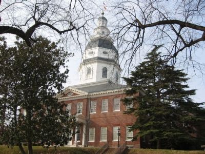
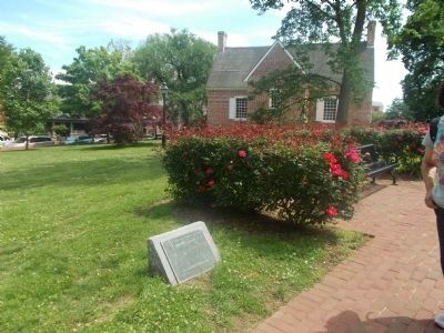
Location. 38° 58.759′ N, 76° 29.456′ W. Marker is in Annapolis, Maryland, in Anne Arundel County. Marker can be reached from the intersection of State Circle and North Street, in the median. Marker is on the grounds of the Maryland State House. Touch for map. Marker is in this post office area: Annapolis MD 21401, United States of America. Touch for directions.
Other nearby markers. At least 8 other markers are within walking distance of this marker. General Washington (within shouting distance of this marker); Matthew Alexander Henson (within shouting distance of this marker); Liberty Tree (within shouting distance of this marker); St. Mary's City Cannon (within shouting distance of this marker); Thurgood Marshall (within shouting distance of this marker); State Circle & Maryland Ave. (within shouting distance of this marker); The Old Treasury Building (within shouting distance of this marker); Roger Brooke Taney, 1777 - 1864 (within shouting distance of this marker). Touch for a list and map of all markers in Annapolis.
Credits. This page was last revised on June 16, 2016. It was originally submitted on October 11, 2007, by F. Robby of Baltimore, Maryland. This page has been viewed 1,316 times since then and 44 times this year. Photos: 1, 2. submitted on October 11, 2007, by F. Robby of Baltimore, Maryland. 3. submitted on May 20, 2012, by Syd Whittle of Mesa, Arizona. • J. J. Prats was the editor who published this page.


