Marble Canyon in Coconino County, Arizona — The American Mountains (Southwest)
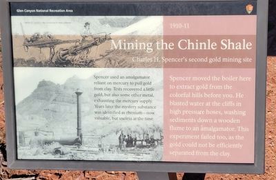
Mining the Chinle Shale 1910-11
Photographed by Jeremy Snow, December 7, 2025
1. Mining the Chinle Shale Marker
Charles H. Spencer's second gold mining site
Spencer used an amalgamator reliant on mercury to pull gold from clay. Tests recovered a little gold, but also some other metal, exhausting the mercury supply. Years later the mystery substance was identified as thenium - now valuable, but useless at the time.
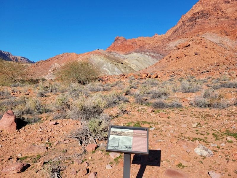
Spencer moved the boiler here to extract gold from the colorful hills before you. He blasted water at the cliffs in high pressure hoses, washing sediments down a wooden flume to an amalgamator. This experiment failed too, as the gold could not be efficiently separated from the clay.
Erected by Glen Canyon National Recreation Area.
Topics. This historical marker is listed in this topic list: Industry & Commerce. A significant historical year for this entry is 1910.
Location. 36° 51.995′ N, 111° 35.009′ W. Marker is in Marble Canyon, Arizona, in Coconino County. It can be reached from Spencer Trail. Marker located along the Historic District River Trail. Touch for map. Marker is at or near this postal address: Spencer Trail, Marble Canyon AZ 86036, United States of America. Touch for directions.

Regionally,
this page online
Other nearby markers. At least 8 other markers are within walking distance of this marker: Spencer Boiler (a few steps from this marker); Lees Ferry (a few steps from this marker); Water Intake (within shouting distance of this marker); USGS Guesthouse/Spencer Bunkhouse (within shouting distance of this marker); Historic District River Trail (about 500 feet away, measured in a direct line); a different marker also named Lee's Ferry (about 500 feet away); American Placer Corporation Office (about 600 feet away); Lees Ferry Fort (about 600 feet away). Touch for a list and map of all markers in Marble Canyon.
Photographed by Jeremy Snow, December 7, 2025
2. Mining the Chinle Shale Marker
Credits. This page was last revised on January 3, 2026. It was originally submitted on January 1, 2026, by Jeremy Snow of Cedar City, Utah. This page has been viewed 52 times since then. Photos: 1, 2. submitted on January 1, 2026, by Jeremy Snow of Cedar City, Utah. • Andrew Ruppenstein was the editor who published this page.
