Rocklin in Placer County, California — The American West (Pacific Coastal)
Old Saint Mary’s Chapel
Photographed by Kevin W., January 29, 2025
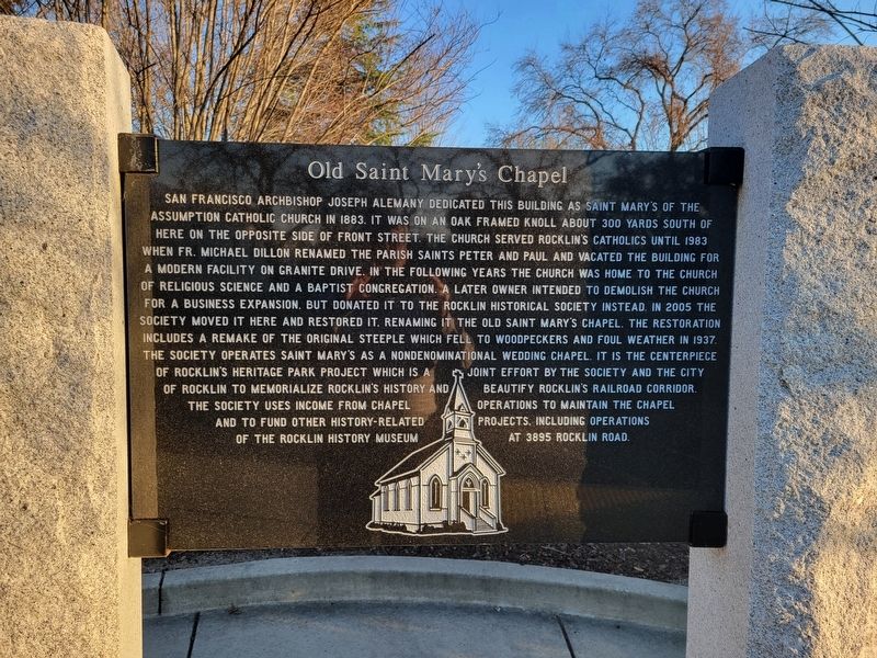
1. Old Saint Mary’s Chapel Marker
Inscription.
San Francisco Archbishop Joseph Alemany dedicated this building as Saint Mary's of the
Assumption Catholic Church in 1883. It was on an oak framed knoll about 300 yards south of
here on the opposite side of Front Street. The church served Rocklin's Catholics until 1983
when Fr. Michael Dillon renamed the parish Saints Peter and Paul and vacated the building for
a modern facility on Granite Drive. In the following years the church was home to the Church
of Religious Science and a Baptist congregation. A later owner intended to demolish the church
for a business expansion. but donated it to the Rocklin Historical Society instead. In 2005 the
society moved it here and restored it. Renaming it the Old Saint Mary's Chapel. The restoration
includes a remake of the original steeple which fell to woodpeckers and foul weather in 1937.
The Society operates Saint Mary's as a nondenominational wedding chapel. It is the centerpiece
of Rocklin's Heritage Park Project which is a joint effort by the Society and the City of Rocklin to memorialize Rocklin's history and beautify Rocklin's railroad corridor. The Society uses income
Click or scan to see this page online
from chapel operations to maintain the chapel and to fund other history-related projects, including operations of the Rocklin History Museum at 3895 Rocklin Road.
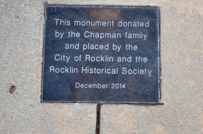
Erected 2014 by the Chapman family, the City of Rocklin and the Rocklin Historical Society.
Location. 38° 47.463′ N, 121° 14.299′ W. Marker is in Rocklin, California, in Placer County. It is on Front Street just south of Rocklin Road. Touch for map. Marker is at or near this postal address: 5251 Front Street, Rocklin CA 95677, United States of America. Touch for directions.
Regionally, this marker is in California’s Sacramento Metro. Globally, it is in North America, on the Ring of Fire, on the Pacific Rim, in the Western Hemisphere, in the Western World, and in the Anglosphere. Historically, it finds itself in what was once New Spain and also Mexico’s Alta California.
Other nearby markers. At least 8 other markers are within walking distance of this marker: Rocklin's Roundhouse
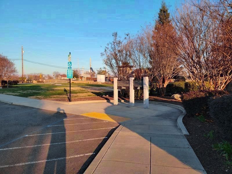
3. Rocklin's Roundhouse and Old Saint Mary’s Chapel Markers
Credits. This page was last revised on January 2, 2026. It was originally submitted on January 2, 2026, by Kevin W. of Stafford, Virginia. This page has been viewed 49 times since then. Photos:1, 2, 3. submitted on January 2, 2026, by Kevin W. of Stafford, Virginia.