Riverton in Salt Lake County, Utah — The American Mountains (Southwest)
Riverton Tithing Yard Hill

Photographed by Jeremy Snow, January 2, 2026
1. Riverton Tithing Yard Hill Marker
Erected by Daughters of Utah Pioneers. (Marker Number 411.)
Topics. This historical marker is listed in this topic list: Religion & Religious Structures. A significant historical year for this entry is 1886.
Location. 40° 31.257′ N, 111° 55.952′ W. Marker is in Riverton, Utah, in Salt Lake County. It is on West 12600 South. Marker located in Riverton Park, just south of the Riverton City offices. Touch for map. Marker is at
this page online

Regionally, this marker is in the Wasatch Front and in Greater Salt Lake. It is also in the American Mountain West and on the Colorado Plateau. Globally, it is in North America, the Rocky Mountains, the Western Hemisphere, the Western World, and the Anglosphere. Historically, it finds itself in what was once New Spain and also Mexico’s Alta California.
Other nearby markers. At least 8 other markers are within 3 miles of this marker, measured as the crow flies: The Magnificent Dome Church (within shouting distance of this marker); a different marker also named Riverton Tithing Yard Hill (about 500 feet away, measured in a direct line); Early Riverton (about 500 feet away); The Tithing Yard (approx. half a mile away); War Memorial (approx. 2 miles away); Bluffdale (approx. 2 miles away); Wardle Fields Regional Park (approx. 2.2 miles away); Bluffdale Veterans Memorial (approx. 2.3 miles away). Touch for a list and map of all markers in Riverton.
Another marker is no longer nearby. Early Riverton and the Magnificent Dome Church
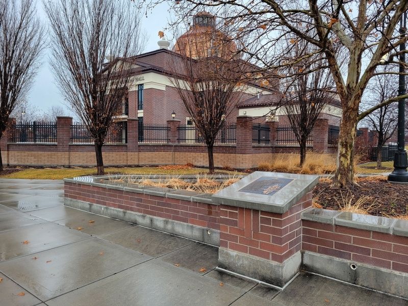
Photographed by Jeremy Snow, January 2, 2026
2. Riverton Tithing Yard Hill Marker
Credits. This page was last revised on January 3, 2026. It was originally submitted on January 2, 2026, by Jeremy Snow of Cedar City, Utah. This page has been viewed 47 times since then. Photos: 1, 2. submitted on January 2, 2026, by Jeremy Snow of Cedar City, Utah. • Andrew Ruppenstein was the editor who published this page.
