Nederland in Jefferson County, Texas — The American South (West South Central)
City of Nederland
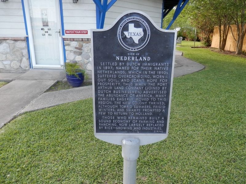
Photographed by Cajun Scrambler, April 5, 2021
1. City of Nederland Marker
Settled by Dutch immigrants in 1897; named for their native Netherlands, which in the 1890s suffered overcrowding, worn-out soil, and scant hope for prosperity. Thus when the Port Arthur Land Company (joined by Dutch businessmen) advertised the abundance of America, many families eagerly moved to this region. The new colony thrived, although torrid summers, frigid winters, and swamps prompted a few to return to Holland.
Those who remained built a sound economy of farming and ranching, now largely replaced by rice-growing and industries.
Erected 1970 by State Historical Survey Committee. (Marker Number 10546.)
Topics. This historical marker is listed in this topic list: Settlements & Settlers. A significant historical year for this entry is 1897.
Location. 29° 58.392′ N, 93° 59.628′ W. Marker is in Nederland, Texas, in Jefferson County. It is on Boston Avenue south of North 15th Street, on the right when traveling south. Touch for map. Marker is at or near this postal address: 1515 Boston Street, Nederland TX 77627, United States of America. Touch for directions.

Regionally, this marker is in the Golden Triangle.
this page online
Other nearby markers. At least 8 other markers are within 3 miles of this marker, measured as the crow flies: W.M. "Tex" Ritter (a few steps from this marker); Interurban Rail Service (within shouting distance of this marker); First Mercantile Building (approx. ¼ mile away); First Baptist Church of Nederland (approx. 0.3 miles away); First Baptist Church of Port Neches (approx. 1.6 miles away); Southeast Texas Regional Airport (approx. 2 miles away); St. Elizabeth Catholic Community (approx. 2.1 miles away); First United Methodist Church Of Port Neches (approx. 2.2 miles away). Touch for a list and map of all markers in Nederland.
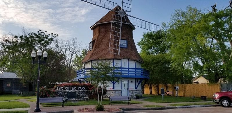
Photographed by Cajun Scrambler
2. City of Nederland Marker
Credits. This page was last revised on January 4, 2026. It was originally submitted on April 12, 2021, by Cajun Scrambler of Assumption, Louisiana. This page has been viewed 517 times since then and 68 times this year. Last updated on January 4, 2026, by Jeff Leichsenring of Garland, Texas. Photos: 1, 2. submitted on April 12, 2021, by Cajun Scrambler of Assumption, Louisiana. • James Hulse was the editor who published this page.
