
Helper in Carbon County, Utah — The American Mountains (Southwest)
Standardville
Photographed by Braden Orr, January 25, 2025
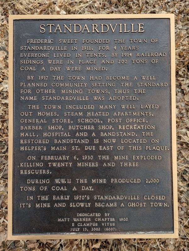
1. Standardville Marker
Frederic Sweet founded the town of Standardville in 1911. For 4 years everyone lived in tents. By 1914 railroad sidings were in place and 200 tons of coal a day were mined.
By 1917 the town had become a well planned community setting the standard for other mining towns, thus the name Standardville was adopted.
The town included many well layed out homes, steam heated apartments, general store, school, post office, barber shop, butcher shop, recreation hall, hospital and a bandstand. The restored bandstand is now located on Helper's Main St. due east of this plaque.
On February 6, 1930 the mine exploded killing twenty miners and three rescuers.
During W.W. II the mine produced 2,000 tons of coal a day.
In the early 1970's Standardville closed it's mine and slowly became a ghost town.
Erected 2002 by E Clampus Vitus - Matt Warner Chapter #1900.
Topics and series. This historical marker is listed in these topic lists: Disasters • Industry & Commerce • Settlements & Settlers. In addition, it is included in the E Clampus Vitus series list.
Location. 39° 41.184′ N,
this page online

Regionally, this marker is in Canyon Country. It is also in the American Mountain West, on the Colorado Plateau, and at the Four Corners. Globally, it is in North America, the Western Hemisphere, the Western World, and the Anglosphere. Historically, it finds itself in what was once New Spain and also Mexico’s Alta California.

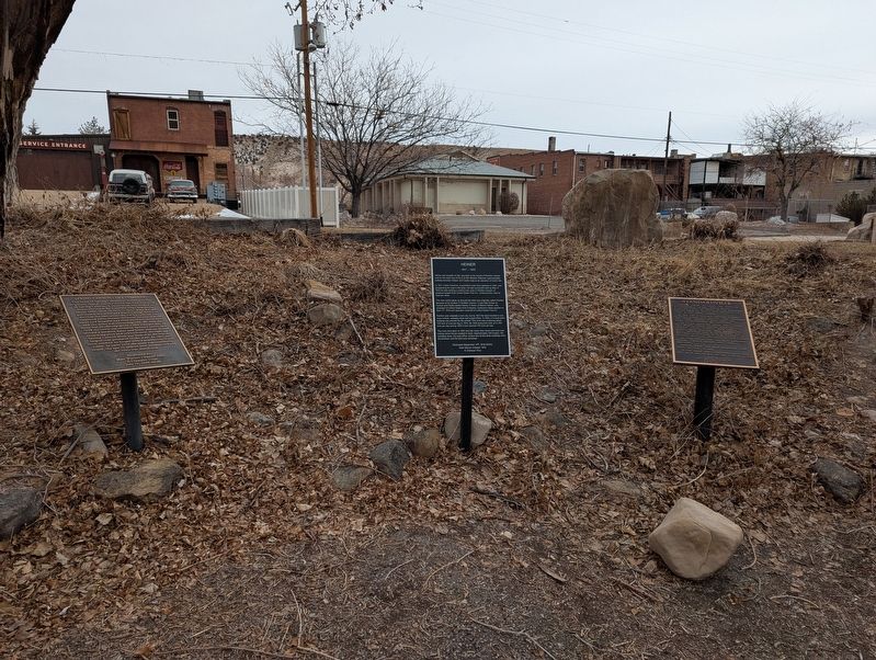
Other nearby markers. At least 8 other markers are within walking distance of this marker: Heiner (1911-1937) (here, next to this marker); Spring Canyon Coal Company (here, next to this marker); Helper Senior Citizens Park (about 300 feet away, measured in a direct line); Helper's Rich History (about 300 feet away); Standardville "Bandstand" (about 400 feet away); Helper Main Post Office (about 400 feet away); 80 South Main Street
Photographed by Braden Orr, January 25, 2025
2. Standardville Marker
Credits. This page was last revised on January 13, 2026. It was originally submitted on January 9, 2026, by Braden Orr of Helper, Utah. This page has been viewed 58 times since then. Photos: 1, 2. submitted on January 9, 2026, by Braden Orr of Helper, Utah. • Andrew Ruppenstein was the editor who published this page.
