Cotulla in La Salle County, Texas — The American South (West South Central)
La Salle County
Photographed by Cosmos Mariner, May 20, 2018
1. La Salle County Marker
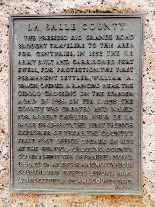
The Presidio Rio Grande Road brought travelers to this area for centuries. In 1852 the U. S. Army built and garrisoned Fort Ewell, for protection. The first permanent settler, William A. Waugh, opened a rancho near the Cibolo Crossing on the Spanish Road in 1856. On Feb. 1, 1858, the county was created and named for Robert Cavalier, Sieur de La Salle (1643-1687), the first French explorer of Texas. The county's first post office opened in 1871 at the Guajuco Crossing. County government was organized Nov. 2, 1880, at Crarey's Rancho. Various courthouses existed before 1883, when Cotulla became county seat.
Erected 1977 by State of Texas. (Marker Number 8134.)
Topics. This historical marker is listed in these topic lists: Forts and Castles • Political Subdivisions • Settlements & Settlers. A significant historical date for this entry is February 1, 1858.
Location. 28° 26.141′ N, 99° 14.169′ W. Marker is in Cotulla, Texas, in La Salle County. It is on North Stewart Street south of North Center Street, on the right when traveling south. The marker is located east of the La Salle County Courthouse. Touch for map. Marker
this page online

Regionally, this marker is in South Texas. It is also in the American Borderlands. Globally, it is in North America, a Gulf of Mexico state, the Western Hemisphere, the Western World, and the Anglosphere. Historically, it finds itself in what was once New Spain, the Republic of Texas, and one of the Confederate States of America.
Other nearby markers. At least 8 other markers are within walking distance of this marker: Cotulla City Park (within shouting distance of this marker); La Salle County Veterans (within shouting distance of this marker); First Presbyterian Church of Cotulla (within shouting distance of this marker); The First United Methodist Church of Cotulla (within shouting distance of this marker); Polish Immigrant Joseph Cotulla (about 300 feet away, measured in a direct line); La Salle County's First Artesian Well (about 300 feet away); Cotulla's First School (about 400 feet away); City of Cotulla Historic District (about 700 feet away). Touch for a list and map of all markers in Cotulla.
Also see . . .
1. La Salle County.
Photographed by Cosmos Mariner, May 20, 2018
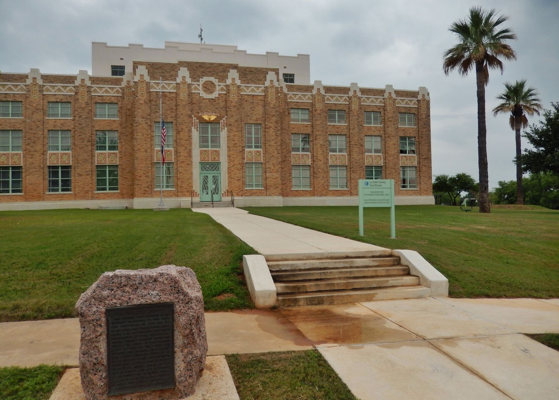
2. La Salle County Marker (wide view; marker is left of sidewalk leading to courthouse entrance)
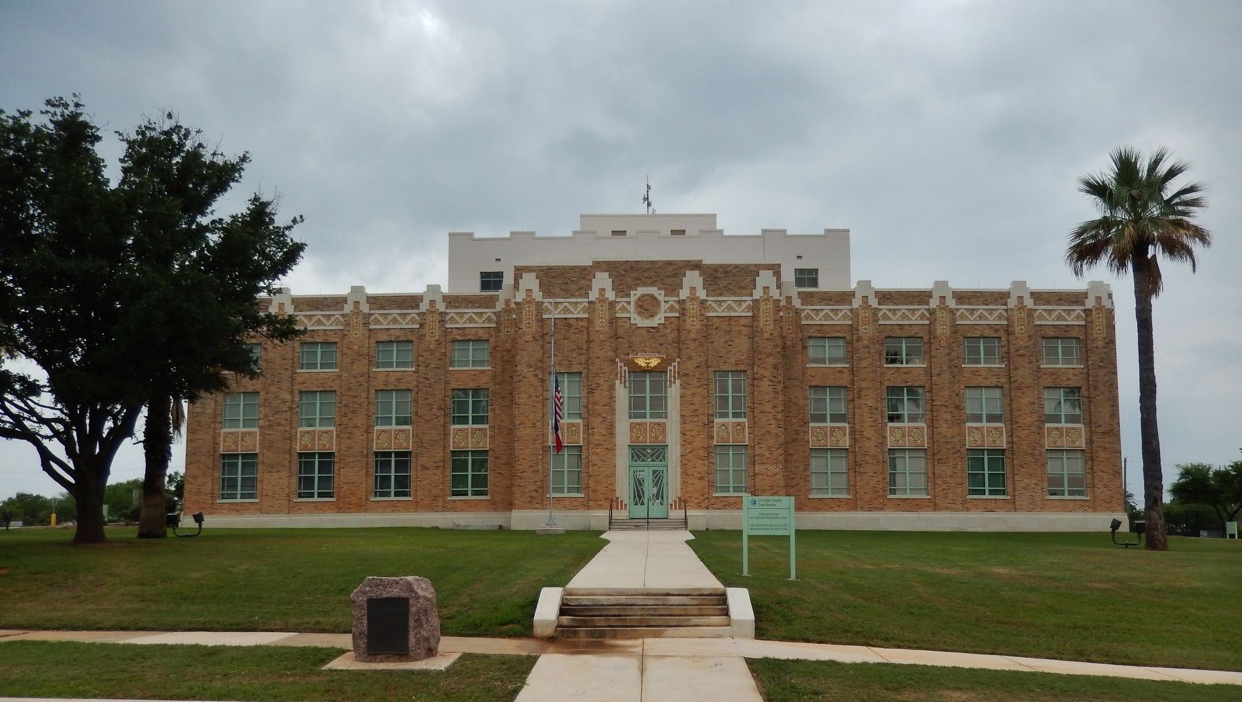
2. La Salle County Courthouse rededicated. The La Salle County Courthouse was rededicated on Jan. 26, 2013, following a four-year restoration made possible with more than $3.5 million in grant funds from the Texas Historical Commission (THC) through its award-winning Texas Historic Courthouse Preservation Program. Construction began on the project in 2009 to return the 1931 courthouse to its former glory. The building was designed by renowned Texas courthouse architect Henry Phelps, considered his last, most ambitious and imaginative courthouse design. The courthouse sits in the
Photographed by Cosmos Mariner, May 20, 2018
3. La Salle County Marker (wide view; La Salle County Courthouse in background)
3. Fort Ewell. Fort Ewell was on the south bank of the Nueces River at the Nueces River crossing of the road from San Antonio to Laredo in what is now La Salle County. It was established on May 18, 1852, and was garrisoned by Companies E, G, and I of the regiment of Mounted Riflemen. According to Col. W. G. Freeman's inspection report in June 1853 the fort was in a poor location. The river was seventy-five feet wide and only four feet deep, and it frequently overflowed its banks, covering the nearby bottoms and salt marshes and making the fort inaccessible. There was no suitable timber for construction within ten to fifteen miles, nor was there good grazing for the animals. (Submitted on May 22, 2018, by Cosmos Mariner of Cape Canaveral, Florida.)
Credits. This page was last revised on January 11, 2026. It was originally submitted on May 21, 2018, by Cosmos Mariner of Cape Canaveral, Florida. This page has been viewed 628 times since then and 62 times this year. Last updated on January 10, 2026, by Jeff Leichsenring of Garland, Texas. Photos: 1, 2, 3. submitted on May 21, 2018, by Cosmos Mariner of Cape Canaveral, Florida. • Devry Becker Jones was the editor who published this page.
