Brandy Station in Culpeper County, Virginia — The American South (Mid-Atlantic)
Brandy Station World War II Memorial
1941 - 1945
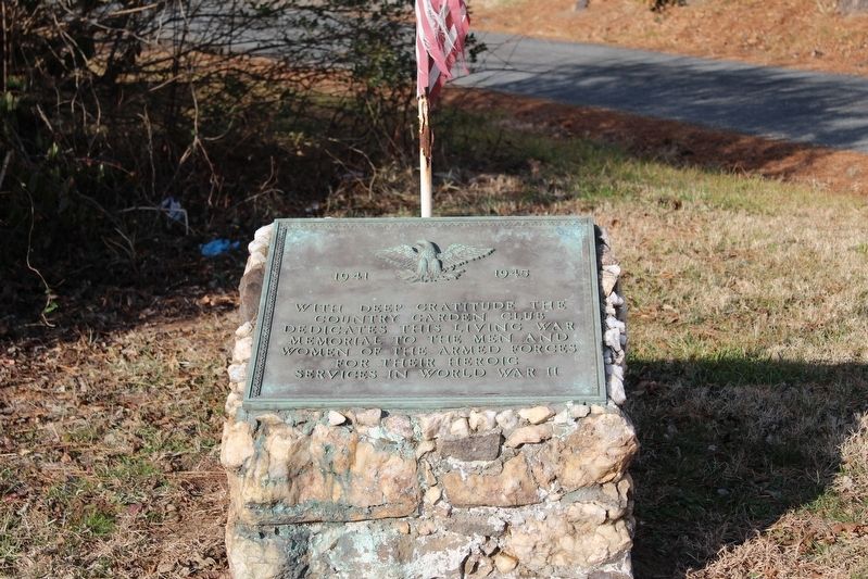
Photographed by Evan Dwyer, January 7, 2026
1. Brandy Station World War II Memorial Marker
Erected by The Culpeper Garden Club.
Topics. This memorial is listed in this topic list: War, World II.
Location. 38° 30.097′ N, 77° 53.674′ W. Memorial is in Brandy Station, Virginia, in Culpeper County. It is at the intersection of Brandy Road (Virginia Route 672) and Carpenters Branch Road, on the right when traveling west on Brandy Road. Touch for map. Memorial is in this post office area: Brandy Station VA 22714, United States of America. Touch for directions.

Regionally, this memorial is in the Washington Metropolitan Area and in Northern Virginia. It is also in the American South, specifically in the Upper South, and in the Mid-Atlantic. Globally, it is in North America, the Western Hemisphere, the Western World, and the Anglosphere. Historically, it finds itself in what was once the territory of the Mississippian Culture, one of the original Thirteen Colonies, one of the Confederate
this page online
Other nearby markers. At least 8 other markers are within walking distance of this marker: U.S. Colored Troops In The Overland Campaign (about 500 feet away, measured in a direct line); In Memory of Major John Pelham (approx. 0.2 miles away); Opening of the Gettysburg Campaign (approx. 0.2 miles away); Walls That Talk (approx. 0.2 miles away); The 1863-64 Winter Encampment (approx. ¼ mile away); Angel of Mercy (approx. 0.4 miles away); Battle of Brandy Station (approx. 0.7 miles away); a different marker also named Battle of Brandy Station (approx. ¾ mile away). Touch for a list and map of all markers in Brandy Station.
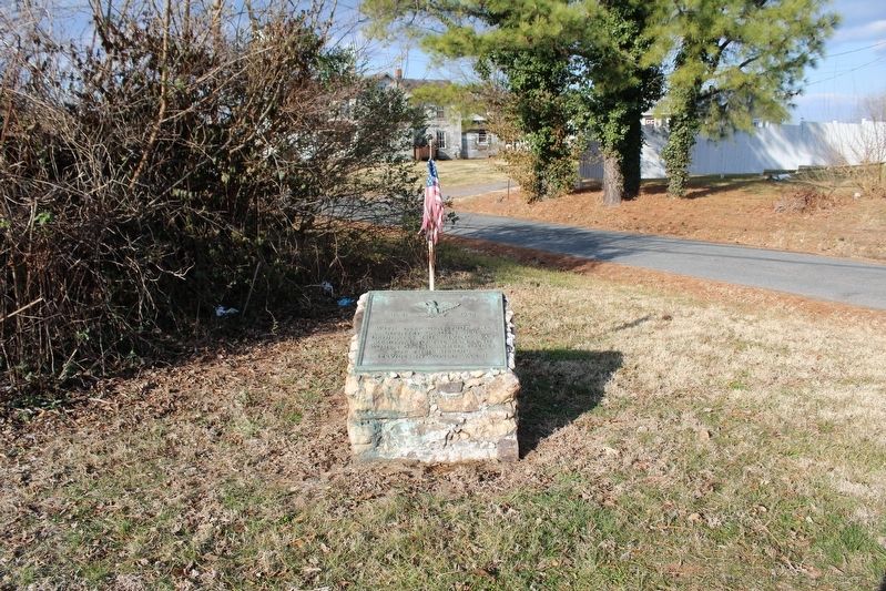
Photographed by Evan Dwyer, January 7, 2026
2. Brandy Station World War II Memorial
Credits. This page was last revised on January 12, 2026. It was originally submitted on January 11, 2026, by Evan Dwyer of Richmond, Virginia. This page has been viewed 46 times since then. Photos: 1, 2. submitted on January 11, 2026, by Evan Dwyer of Richmond, Virginia. • Andrew Ruppenstein was the editor who published this page.
