
Christchurch Central City , Canterbury Region, New Zealand — Southwestern Pacific Ocean
Oi Manawa Canterbury Earthquake National Memorial
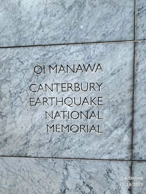
Photographed by Shirley A Stirling, December 14, 2025
1. Oimanawa Canterbury Earthquake National Earthquake Memorial
We remember: those who died, those who were hurt, and those who experienced loss.
We offer our thanks: to those who came for us, to those who risked their lives for ours, and to those who supported us. Together we are stronger.
Erected 2017.
Topics. This historical marker and memorial is listed in this topic list: Disasters. A significant historical date for this entry is February 11, 2011.
Location. 43° 32.078′ S, 172° 37.894′ E. Marker is in Christchurch, Canterbury Region. It is in Christchurch Central City. It can be reached from Oxford Terrace. Touch for map. Marker is at or near this postal address: 68 Oxford Terrace, Christchurch, Canterbury Region 8011, New Zealand. Touch for directions.

Regionally, it is in Oceania, in Australasia, in Polynesia, in the Pacific Ocean, on the Ring of Fire, on the Pacific Rim, in the Western
this page online
Other nearby markers. At least one other marker is within 3 kilometers of this marker, measured as the crow flies: Addington Water Tower (approx. 2 kilometers away).
Also see . . . Oi Manawa – Canterbury Earthquake National Memorial (Ministry for Culture & Heritage). Excerpt:
The Canterbury Earthquake National Memorial is a place to reflect on the 2010/2011 earthquakes that changed greater Christchurch forever.(Submitted on January 14, 2026.)
Five months after a magnitude 7.1 earthquake, centred near Darfield southwest of Christchurch, an even more damaging quake struck on 22 February 2011. That shallow, 6.3 magnitude quake, in the Port Hills just 10 kilometres from the centre of Christchurch, caused the greatest ground acceleration ever recorded in New Zealand.
The earthquake claimed the lives of 185 people and injured many more. There were also significant psychological impacts as people endured more than 11,000 aftershocks, while dealing with lost and damaged homes, and disrupted communities and workplaces.
About 25,000 houses suffered seriousdamage and more than half of all buildings in the central city had to be demolished.Photographed by Shirley A Stirling, December 14, 20252. Oimanawa Canterbury Earthquake National Earthquake Memorial
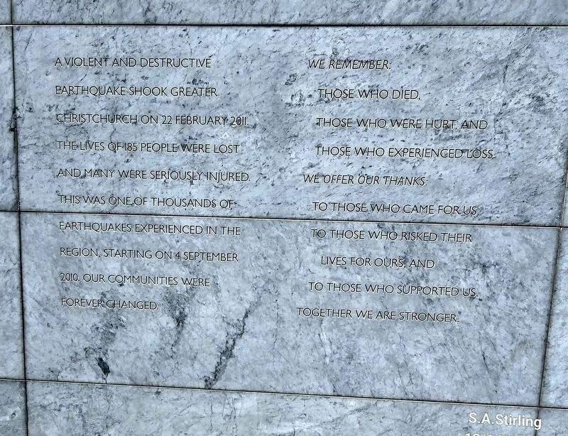
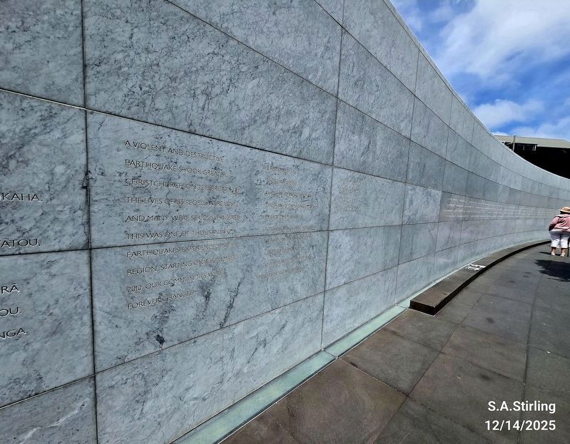
Photographed by Shirley A Stirling, December 14, 2025
3. Oimanawa Canterbury Earthquake National Earthquake Memorial Wall
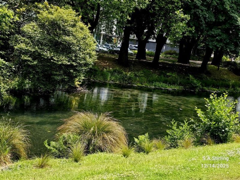
Photographed by Shirley A Stirling, December 14, 2025
4. The surroundings of the memorial.
Credits. This page was last revised on January 14, 2026. It was originally submitted on January 13, 2026, by Shirley A Stirling of Lacey, Washington. This page has been viewed 58 times since then. Photos: 1, 2, 3, 4. submitted on January 13, 2026, by Shirley A Stirling of Lacey, Washington. • Andrew Ruppenstein was the editor who published this page.
