Ligonier Township in Westmoreland County, Pennsylvania — The American Northeast (Mid-Atlantic)
Wilpen Crash
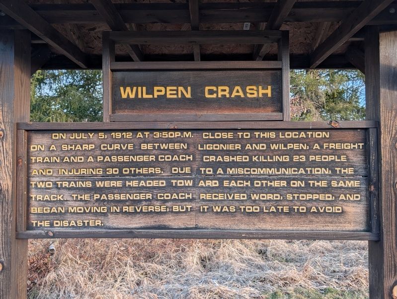
Photographed by Mike Wintermantel, January 13, 2026
1. Wilpen Crash Marker
Topics. This historical marker is listed in these topic lists: Disasters • Railroads & Streetcars. A significant historical date for this entry is July 5, 1912.
Location. 40° 15.429′ N, 79° 12.959′ W. Marker is in Ligonier, Pennsylvania, in Westmoreland County. It is in Ligonier Township. It is on Macartney Lane 0.1 miles north of Pennsylvania Route 711, on the right when traveling north. Located on the grounds of the Ligonier Camp and Conference Center. Touch for map. Marker is in this post office area: Ligonier PA 15658, United States of America. Touch for directions.

Regionally, this marker is in the Laurel Highlands and in Greater Pittsburgh. It is also in the American Northeast, in the Mid-Atlantic, in Appalachia, and specifically
this page online
Other nearby markers. At least 8 other markers are within 2 miles of this marker, measured as the crow flies: Ligonier Train Crash (approx. 0.2 miles away); Finding Your Way (approx. 1½ miles away); Arthur St. Clair (approx. 1½ miles away); Ligonier (approx. 1½ miles away); Forbes Road (approx. 1½ miles away); Fort Ligonier (approx. 1½ miles away); Building the Highway (approx. 1½ miles away); Ligonier Town Square Fountain (approx. 1½ miles away). Touch for a list and map of all markers in Ligonier.
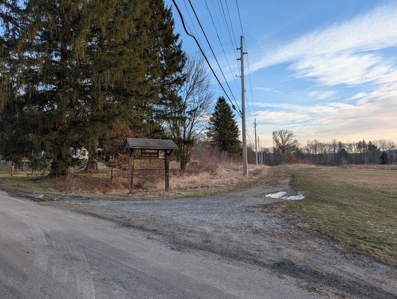
Photographed by Mike Wintermantel, January 13, 2026
2. Wilpen Crash Marker
Credits. This page was last revised on January 14, 2026. It was originally submitted on January 14, 2026, by Mike Wintermantel of Pittsburgh, Pennsylvania. This page has been viewed 72 times since then. Photos: 1, 2. submitted on January 14, 2026, by Mike Wintermantel of Pittsburgh, Pennsylvania.
