
Union Township near Correctionville in Woodbury County, Iowa — The American Midwest (Upper Plains)
Russ Dixon

December 25, 2025
1. Russ Dixon Marker
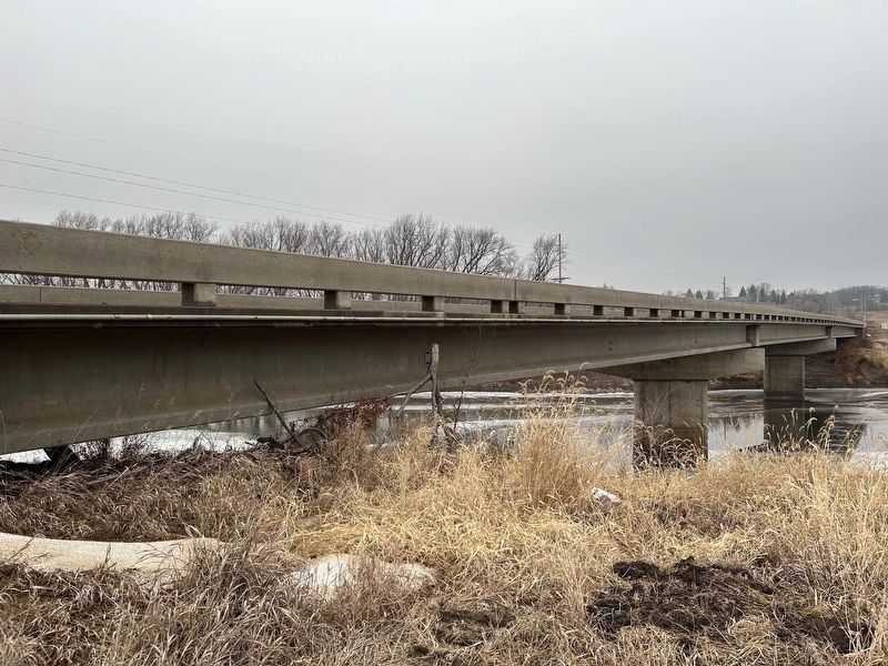
Russ Dixon was involved in the construction of the bridge over the Little Sioux River in 1936. This bridge was located just west of the current bridge and was removed in 2007 upon completion of the new bridge constructed by Dixon Construction Company.
Russ Dixon died March 1, 2007. Before his death, he was able to come to the site and see the new bridge being built. His legacy as a bridge builder and his contribution to this area will remain for many years.
Topics.
this page online
Location. 42° 29.111′ N, 95° 47.409′ W. Marker is near Correctionville, Iowa, in Woodbury County. It is in Union Township. It is on Osceola Avenue (County Highway L36) 0.2 miles north of 11th Street (U.S. 20), on the right when traveling north. Located on the south side of the Russ Dixon Bridge. Touch for map. Marker is in this post office area: Correctionville IA 51016, United States of America. Touch for directions.

Regionally, this marker is in Western Iowa and in Loess Hills. It is also in the American Midwest, in the Lewis & Clark Corridor, and in the Corn Belt. Globally, it is in North America, the Western Hemisphere, the Western World, and the Anglosphere. Historically, it finds itself in what was once the territory of the Mississippian Culture and also the Louisiana Purchase.
Other nearby markers. At least 8 other markers are within 12 miles of this marker, measured as the crow flies: How Correctionville Got Its Name! (approx. ¾ mile away); Built for a Lifetime of Service

December 25, 2025
2. Russ Dixon Marker at Russ Dixon Bridge
December 25, 2025
3. Russ Dixon Bridge over the Little Sioux River
Credits. This page was last revised on January 16, 2026. It was originally submitted on January 15, 2026. This page has been viewed 52 times since then. Photos: 1, 2, 3. submitted on January 15, 2026.
