Downtown West in Minneapolis in Hennepin County, Minnesota — The American Midwest (Upper Plains)
State Theatre
1921, 1978, 1991
| — | Historic Downtown | — |
Photographed by McGhiever, October 10, 2025
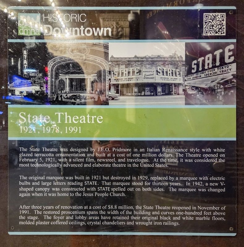
1. State Theatre Marker
The State Theatre was designed by J.E.O. Pridmore in an Italian Renaissance style with white glazed terracotta ornamentation and built as a cost of one million dollars. The Theatre opened on February 5, 1921, with a silent film, newsreel, and travelogue. At the time, it was considered the most technologically advanced and elaborate theatre in the United States.
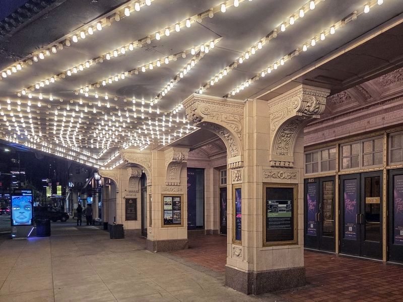
The original marquee was built in 1921 but destroyed in 1929, replaced by a marquee with electric bulbs and large letters reading STATE. That marquee stood for thirteen years. In 1942, a new V-shaped canopy was constructed with STATE spelled out on both sides. The marquee was changed again when it was home to the Jesus People Church.
After three years of renovation at a cost of $8.8 million, the State Theatre reopened in November of 1991. The restored proscenium spans the width of the building and curves one-hundred feet above the stage. The foyer and lobby areas have retained their original black and white marble floors, molded plaster coffered ceilings, crystal chandeliers and wrought iron railings.
Erected by the Downtown Minneapolis Neighborhood
this page online
Topics. This historical marker is listed in these topic lists: Architecture • Arts, Letters, Music • Entertainment. A significant historical year for this entry is 1921.
Location. 44° 58.612′ N, 93° 16.568′ W. Marker is in Minneapolis, Minnesota, in Hennepin County. It is in Downtown West. It is on Hennepin Avenue south of S. 8th Street. Touch for map. Marker is at or near this postal address: 805 Hennepin Avenue, Minneapolis MN 55402, United States of America. Touch for directions.

Regionally, this marker is in the Twin Cities Metropolitan Area. It is also in the American Midwest, in the Corn Belt, and in the Great River Road Region. Globally, it is in North America, the Western Hemisphere, the Western World, and the Anglosphere. Historically, it finds itself in what was once Rupert’s Land, the territory of the Mississippian Culture, and the Louisiana Purchase.
Other nearby markers. At least 8 other markers are within walking distance of this marker: A different marker also named State Theatre (here, next to this marker); Minneapolis YMCA Central Building (about 400 feet away, measured in a direct
Photographed by McGhiever, October 10, 2025
2. State Theatre Marker (right) on the closest pillar
Credits. This page was last revised on January 21, 2026. It was originally submitted on January 21, 2026, by McGhiever of Minneapolis, Minnesota. This page has been viewed 44 times since then. Photos: 1, 2. submitted on January 21, 2026, by McGhiever of Minneapolis, Minnesota.
