Albany in Albany County, New York — The American Northeast (Mid-Atlantic)
McKownville-Country Club Highlands Historic District
Photographed by Trudi Jacobson, January 17, 2026
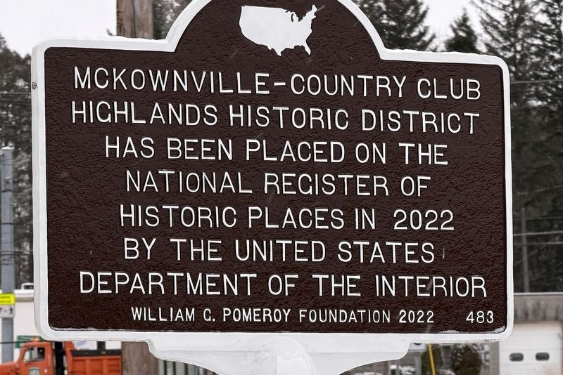
1. McKownville-Country Club Highlands Historic District Marker
McKownville-Country Club Highlands Historic District has been placed on the National Register of Historic Places in 2022 by the United States Department of the Interior
Erected 2022 by William G. Pomeroy Foundation. (Marker Number 483.)
Topics and series. This historical marker is listed in these topic lists: Architecture • Settlements & Settlers. In addition, it is included in the William G. Pomeroy Foundation series list. A significant historical year for this entry is 2022.
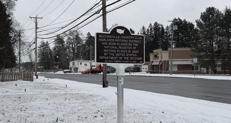
Location. 42° 40.825′ N, 73° 50.105′ W. Marker is in Albany, New York, in Albany County. It is at the intersection of Western Avenue (U.S. 20) and Glenwood Street, on the left when traveling east on Western Avenue. Touch for map. Marker is at or near this postal address: 1443 Western Ave, Albany NY 12203, United States of America. Touch for directions.

Regionally, this marker is in Upstate New York and in the Capital District. It is also in the American Northeast and in the Mid-Atlantic. Globally, it is in North America, the Western Hemisphere, the Western World, and the Anglosphere. Historically, it finds itself in what was
this page online
Other nearby markers. At least 8 other markers are within 3 miles of this marker, measured as the crow flies: William McKown (approx. 0.3 miles away); Rapp Road Community (approx. 1.4 miles away); First Steam Train (approx. 2.4 miles away); Early Turnpike (approx. 2.6 miles away); Van Bael Patent (approx. 2.9 miles away); Swinburne Park (approx. 2.9 miles away); LaGrange Farm (approx. 3 miles away); National Natural Landmark (approx. 3 miles away). Touch for a list and map of all markers in Albany.
Another marker is no longer nearby. First Railroad (was approx. 2.4 miles away but has been confirmed missing).
Also see . . . McKownville Improvement Association. The summary paragraph from the application document:
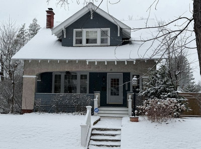
The McKownville-Country Club Highlands Historic District is located in the Town of Guilderland, Albany County, New York, on the western outskirts of the City of Albany and constitutes a significant portion of the local area known as McKownville. The historic district’s boundary largely corresponds with a 1912 residential subdivision(Submitted on January 17, 2026, by Trudi Jacobson of Slingerlands, New York.)called the Country Club Highlands, which was developed on the outskirts of Albany as a suburban enclave by William H. Witbeck, working in association with W.L. Hill & Company. Sustained housing development was initiated during the 1910s and most of the contributing housing stock, which constitutes the district’s singular resource type, was constructed by the end of the 1940s. Originally located adjacent to the Albany Country Club, from which it took its name—and which has since been transformed into the State University of New York’s sprawling uptown Albany campus—the historic district encompasses a remarkably intact and cohesive residential enclave. It retains a strong sense of place, as manifested in its intact residential streetscapes with characteristic expressions of early- to mid-twentieth century American suburban architecture, and its street plan, consisting of principal streets and parallel alleys. Conspicuous among the district’s housing, some of which was architectdesigned, are noteworthy examples of the Arts & Crafts movement in addition to expressions of the Colonial Revival and Spanish Mission modes, among others. ThePhotographed by Trudi Jacobson, January 17, 20262. McKownville-Country Club Highlands Historic District Markerhistoric district boundary largely corresponds with the extent of the subdivision as it was depicted on a 1912 survey map, in spite of the extension of a number of corresponding streets to the north, beyond the original boundary; those latter areas have been excluded from the boundary, which was drawn to reflect the original subdivision to the extent possible.Photographed by Trudi Jacobson, January 17, 20263. 4 Waverly Place in the Historic DistrictBuilt in 1916, possibly a Sears Kit House
Photographed by Trudi Jacobson, January 17, 2026
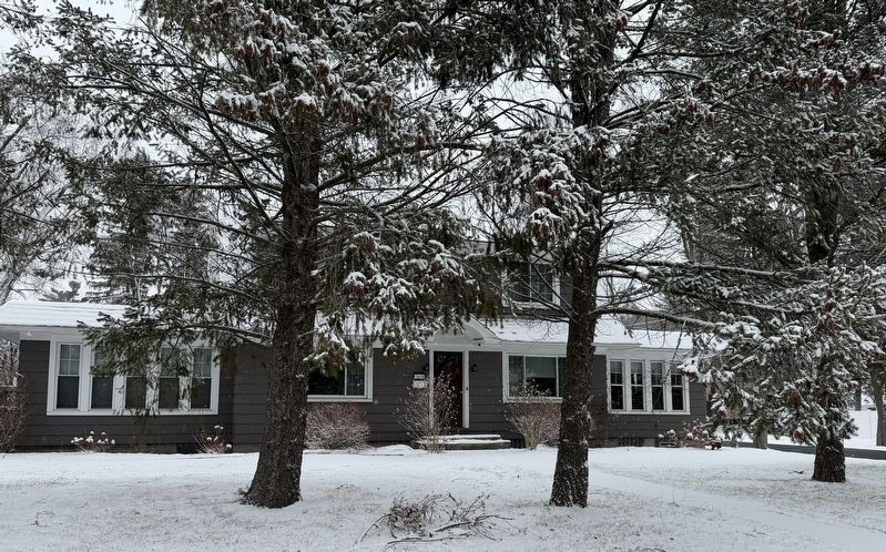
4. 1439 Western Avenue in the Historic District
Built in 1929, this house was owned by Harold J. Blessing, a contractor/builder of many of the houses in a development within the Historic District
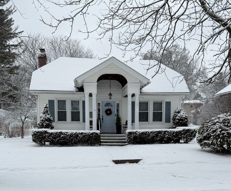
Photographed by Trudi Jacobson, January 17, 2026
5. 12 Glenwood Street in the Historic District
Built in 1926.

Photographed by Trudi Jacobson, January 17, 2026
6. 10 Parkwood Street in the Historic District
Built in 1914
Credits. This page was last revised on March 12, 2026. It was originally submitted on January 17, 2026, by Trudi Jacobson of Slingerlands, New York. This page has been viewed 114 times since then. Last updated on January 22, 2026, by Trudi Jacobson of Slingerlands, New York. Photos: 1, 2, 3, 4, 5, 6. submitted on January 17, 2026, by Trudi Jacobson of Slingerlands, New York. • Devry Becker Jones was the editor who published this page.
