
Stewart in Kitimat-Stikine, British Columbia — Canada’s West Coast (North America)
Anglo-Russian Treaty of 1825
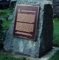
Photo from Government of Canada - Parks Canada
1. Image of plaque
Photo © Parks Canada. Photo available at Parks Canada website pc.gc.ca . Terms of use at pc.gc.ca/termes-terms#p05

In 1825 diplomats representing Russia and Great Britain met in St. Petersburg to resolve several navigational, commercial and territorial matters in dispute on the North West coast of North America and in particular, the immediate problem of the rich fur resources of the area. They signed a treaty defining the boundary between the Russian colony of Alaska and adjacent British territory and thus avoided conflict between the two imperial powers. Although many of its terms had to be renegotiated later, the treaty subsequently helped to delimit Canada's claim to British Columbia, the Yukon and the Arctic archipelago.
En 1825, des diplomates de Grande-Bretagne et de Russie se réunirent à St- Petersbourg afin de régler des problèmes maritimes, commerciaux et territoriaux qui opposaient les deux nations sur la côte nord-ouest de l'Amérique du Nord, notamment l'importante question du commerce des fourrures. Ils signèrent un traité qui fixait les frontières entre l'Alaska et les territoires britanniques. Ce traité fit éviter un conflit entre les deux puissances et, même si plusieurs clauses durent être renégociées plus tard, il permit au Canada de définir ses réclamations sur la Colombie-Britannique, le Yukon et l'Archipel Arctique.
Erected by Historic Sites and Monuments Board of Canada.
Topics and series. This historical marker is listed in this topic list: Government & Politics. In addition, it is included in the Canada, Historic Sites and Monuments Board series list. A significant historical year for this entry is 1825.
Location. 55° 56.234′ N, 129° 59.606′ W. Marker is in Stewart, British Columbia, in Kitimat-Stikine. It is on Columbia St, on the right when traveling south. Marker is on an upright squarish rock, 10 metres west of road, on lawn beside the building, Stewart's Old Firehall.
this page online

Regionally, this marker is in Northern BC. Globally, it is in North America, in the Inside Passage, on the Ring of Fire, in the Pacific Rim, in the Western Hemisphere, in the Western World, and in the Anglosphere. Historically, it finds itself in what was once a British colony.
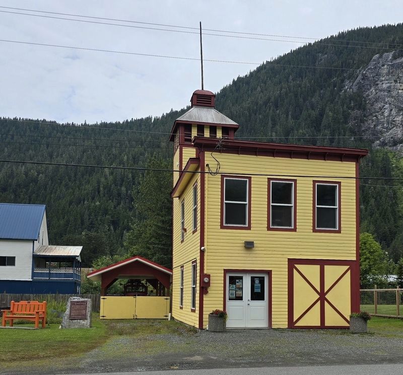
Photo courtesy District Of Stewart - Stewart Tourism (with permission), July 29, 2025
2. Anglo-Russian Treaty of 1825 - Marker in context
Credits. This page was last revised on January 25, 2026. It was originally submitted on January 23, 2026, by Kevin Westell of St. Catharines, Ontario. This page has been viewed 57 times since then. Photos: 1, 2. submitted on January 23, 2026, by Kevin Westell of St. Catharines, Ontario.
Editor’s want-list for this marker. Full, in focus, close-up of marker. • Can you help?
