
Honolulu in Honolulu County, Hawaii — Hawaiian Island Archipelago (Pacific Ocean)
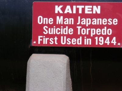
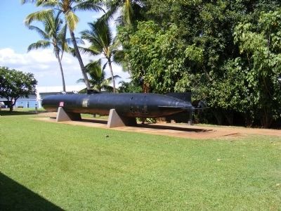
Kaiten
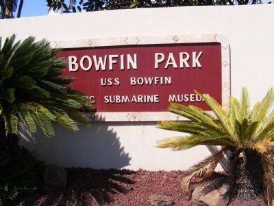
Bowfin Park
Photographed by Don Morfe, November 12, 2008
1. Kaiten Marker
Topics. This historical marker is listed in this topic list: War, World II. A significant historical year for this entry is 1944.
Location. This marker has been replaced by another marker nearby. It was located near 21° 22.134′ N, 157° 56.31′ W. Marker was in Honolulu, Hawaii, in Honolulu County. It was on Arizona Memorial Drive. Touch for map. Marker was in this post office area: Honolulu HI 96818, United States of America. Touch for directions.

Regionally, this marker was on Hawaii’s Pearl Harbor and Historic West Oahu. Globally, it was in North America, Polynesia, the Pacific Ocean, North Pacific, the Pacific Rim, the Western Hemisphere, the Western World, and the Anglosphere.
Other nearby markers. At least 8 other markers are within walking distance of this location: Mark 45 Nuclear Capable Torpedo (here, next to this marker); Submarine Rocket (SUBROC) (here, next to this marker); Top Secret Kaiten: Suicide Weapon (here, next to this marker); Mark 37 Electric Torpedo (here, next to this marker); Inside a Kaiten (a few steps from this marker); Mark 27 Torpedo
this page online
Photographed by Don Morfe, November 12, 2008
2. Kaiten-Japanese Suicide Torpedo
Photographed by Don Morfe, November 12, 2008
3. Sign at the entrance to the Park
Credits. This page was last revised on February 3, 2026. It was originally submitted on March 12, 2015, by Don Morfe of Baltimore, Maryland. This page has been viewed 561 times since then and 22 times this year. Last updated on January 23, 2026, by Darren Jefferson Clay of Duluth, Georgia. Photos: 1, 2, 3. submitted on March 12, 2015, by Don Morfe of Baltimore, Maryland. • Devry Becker Jones was the editor who published this page.
