Perrysburg in Wood County, Ohio — The American Midwest (Great Lakes)
Perrysburg

Photographed by Bill Coughlin, August 2, 2022
1. Perrysburg Marker
Following the War of 1812, settlers reestablished the river town nicknamed “Orleans of the North” thinking that it would become a commercial rival to New Orleans in the Louisiana Territory. Built on the Maumee River, the town never reached its potential and was wiped out twice by spring ice flows. In 1816 the federal government platted a new town higher on the bluff, and Major Amos Spafford named it Perrysburg, spelling it Perrysburgh, in honor of Commodore Oliver Hazard Perry’s decisive naval victory over the British fleet in Lake Erie during the War of 1812. The main street was named Louisiana Avenue. Wood County was formed in 1820 and included the town of Maumee, which separated in 1835 when Lucas County was formed. Perrysburg was the county seat in 1823 until it was officially moved to Bowling Green 1875. Major Spafford died in 1818 and was buried on his land west of Fort Meigs.
Erected 2002 by The Ohio Bicentennial Commission, The Longaberger Company, Perrysburg Ohio’s Bicentennial Committee, Historic Perrysburg, The Ohio Historical Society. (Marker Number 14-87.)
Topics. This historical marker is listed
this page online
Location. 41° 33.018′ N, 83° 39.142′ W. Marker is in Perrysburg, Ohio, in Wood County. It is on West River Road (Ohio Route 65), on the right when traveling west. Touch for map. Marker is at or near this postal address: 27547 W River Road, Perrysburg OH 43551, United States of America. Touch for directions.

Regionally, this marker is in the Black Swamp, in the Till Plains, and in the Toledo Metropolitan Area. It is also in the American Midwest and in the Corn Belt. Globally, it is in North America, on the Great Lakes, in the Western Hemisphere, in the Western World, and in the Anglosphere. Historically, it finds itself in what was once the Haudenosaunee (Iroquois) Confederacy, the territory of the Mississippian Culture, and the Northwest Territory.
Other nearby markers. At least 8 other markers are within walking distance of this marker: Amos Spafford / Perrysburg (here, next to this marker); 17th Infantry Regiment (within shouting distance of this marker); Army Lodge No. 24 Free and Accepted Masons
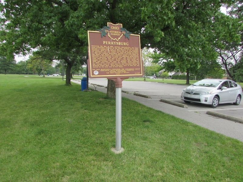
Photographed by Bill Coughlin, August 2, 2023
2. Perrysburg Marker
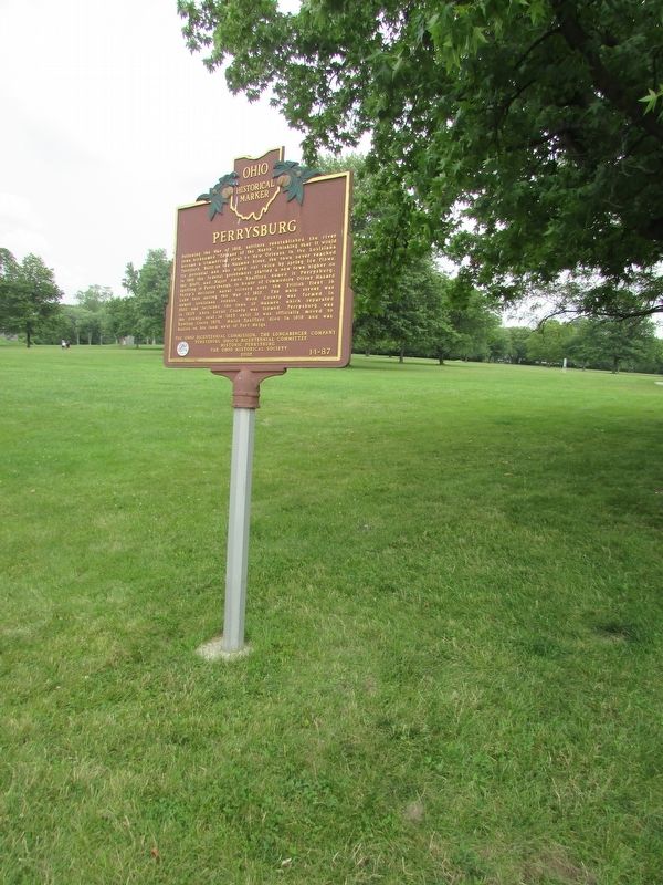
Photographed by Bill Coughlin, August 2, 2023
3. Perrysburg Marker
Credits. This page was last revised on January 24, 2026. It was originally submitted on January 24, 2026, by Bill Coughlin of Woodland Park, New Jersey. This page has been viewed 48 times since then. Photos: 1, 2, 3. submitted on January 24, 2026, by Bill Coughlin of Woodland Park, New Jersey.
