Midtown - Downtown in Columbia in Richland County, South Carolina — The American South (South Atlantic)
An Evolving Landscape
A Gift from the Darnall W. and Susan F. Boyd Foundation
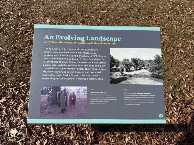
The grounds of this National Historic Landmark property have evolved from a plan rendered by landscape architect Edward J. Pinckney in 1972. Support from the Darnall W. and Susan F. Boyd Foundation in 2019 enabled Historic Columbia to revitalize this block's gardens through the installation of new beds and plant materials and the removal of poorly performing hedges. This work enhanced existing spaces and promoted connectivity with Taylor Street to the south while respecting the philosophy of Pinckney's original plan.
[Captions:]
Left
Cultivating Public Interest
Since Historic Columbia's founding years, dedicated citizens have committed themselves to maintaining this historic property as a destination for public education and enjoyment.
Historic Columbia collection
Above
From a Barren Block to a Garden Destination
Pinckney's landscape plan, implemented in 1972, reflected the tenets of late-18th and early-19th century ornamental garden philosophy while following federal guidelines that require visual access for the public from the sidewalks.
Historic Columbia collection
Erected by Historic Columbia Foundation.
this page online
Topics and series. This historical marker is listed in these topic lists: Architecture • Horticulture & Forestry • Landmarks. In addition, it is included in the National Historic Landmarks series list. A significant historical year for this entry is 1972.
Location. 34° 0.6′ N, 81° 1.754′ W. Marker is in Columbia, South Carolina, in Richland County. It is in Midtown - Downtown. It is on Blanding Street east of Pickens Street, on the right when traveling east. Touch for map. Marker is at or near this postal address: 1616 Blanding St, Columbia SC 29201, United States of America. Touch for directions.

Regionally, this marker is in the Midlands. It is also in the American South and specifically in the Deep South. Globally, it is in North America, the Western Hemisphere, the Western World, and the Anglosphere. Historically, it finds itself in what was once the territory of the Mississippian Culture, one of the original Thirteen Colonies, one of the Confederate States of America, and the Antebellum South.
Other nearby markers. At least 8 other markers are within walking distance of this marker: Worth Preserving (here,
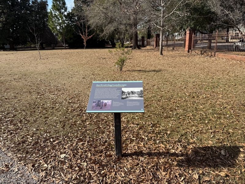
Additional keywords. landscape architecture
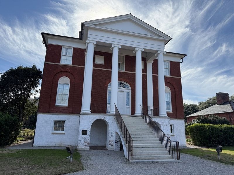

Photographed by Devry Becker Jones (CC0), January 17, 2026
4. National Historic Landmark plaque on the house
has been designated a
National
Historic Landmark
This site possesses national significance in commemorating the history of the United States of America
1974
National Park Service
United States Department of the Interior
Credits. This page was last revised on January 24, 2026. It was originally submitted on January 24, 2026, by Devry Becker Jones of Washington, District of Columbia. This page has been viewed 37 times since then. Photos: 1, 2, 3, 4. submitted on January 24, 2026, by Devry Becker Jones of Washington, District of Columbia.
