Midtown - Downtown in Columbia in Richland County, South Carolina — The American South (South Atlantic)
Allen Benedict Court
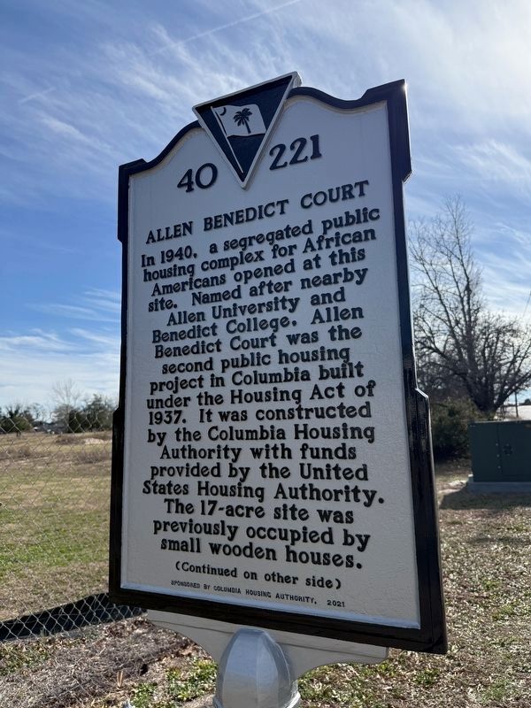
In 1940, a segregated public housing complex for African Americans opened at this site. Named after nearby Allen University and Benedict College, Allen Benedict Court was the second public housing project in Columbia built under the Housing Act of 1937. It was constructed by the Columbia Housing Authority with funds provided by the United States Housing Authority. The 17-acre site was previously occupied by small wooden houses.
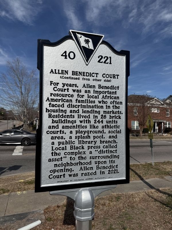
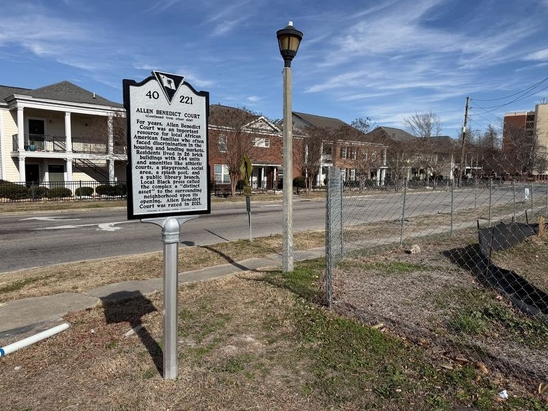
For years, Allen Benedict Court was an important resource for local African American families faced discrimination in the housing and lending markets. Residents lived in 26 brick buildings with 244 units and amenities like athletic courts, a playground, social area, a splash pool, and a public library branch. Local Black press called the complex a "distinct asset" to the surrounding neighborhood upon its opening. Allen Benedict Corut was razed in 2021.
Erected 2021 by South Carolina Department of Archives and History, sponsored by Columbia Housing Authority. (Marker Number 40-221.)
Topics and series. This historical marker is listed in these topic lists: African Americans •
this page online
Location. 34° 0.952′ N, 81° 1.396′ W. Marker is in Columbia, South Carolina, in Richland County. It is in Midtown - Downtown. It is at the intersection of Harden Street (South Carolina Route 555) and Read Street, on the right when traveling north on Harden Street. Touch for map. Marker is at or near this postal address: 2100 Read St, Columbia SC 29204, United States of America. Touch for directions.

Regionally, this marker is in the Midlands. It is also in the American South and specifically in the Deep South. Globally, it is in North America, the Western Hemisphere, the Western World, and the Anglosphere. Historically, it finds itself in what was once the territory of the Mississippian Culture, one of the original Thirteen Colonies, one of the Confederate States of America, and the Antebellum South.
Other nearby markers. At least 8 other markers are within walking distance of this marker:
Credits. This page was last revised on January 25, 2026. It was originally submitted on January 25, 2026, by Devry Becker Jones of Washington, District of Columbia. This page has been viewed 58 times since then. Photos: 1, 2, 3. submitted on January 25, 2026, by Devry Becker Jones of Washington, District of Columbia.
