
Montrose in Glendale in Los Angeles County, California — The American West (Pacific Coastal)
Glendale and Montrose Railway
The middle of Verdugo Rd and Montrose Ave.
| — | Historic Montrose - est. 1913 | — |
Photographed by Craig Baker, January 15, 2026
1. Glendale and Montrose Railway Marker
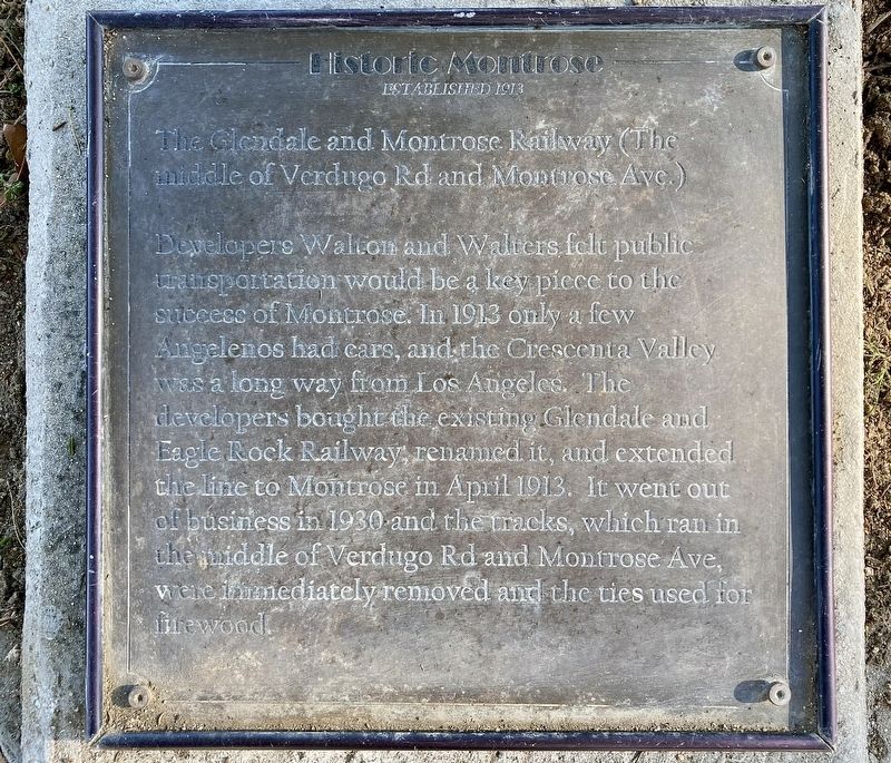
Developers Walton and Walters felt public transportation would be a key piece to the success of Montrose. In 1913 only a few Angelenos had cars, and the Crescenta Valley was a long way from Los Angeles. The developers bought the existing Glendale and Eagle Rock Railway, renamed it, and extended the line to Montrose in April 1913. It went out of business in 1930 and the tracks, which ran in the middle of Verdugo Rd and Montrose Ave, were immediately removed and the ties used for firewood.
Erected by Montrose Shopping Park Association, Historical Society of the Crescenta Valley, and Boy Scout Troop 317.
Topics. This historical marker is listed in these topic lists: Industry & Commerce • Railroads & Streetcars • Settlements & Settlers. A significant historical year for this entry is 1913.
Location. 34° 12.317′ N, 118° 13.517′ W. Marker is in Glendale, California, in Los Angeles County. It is in Montrose. It is at the intersection of Honolulu Avenue and Montrose Avenue, on the right when traveling west on Honolulu Avenue. Touch for map. Marker is at or near this postal address: 2201 Honolulu Ave,
this page online

Regionally, this marker is in Greater Los Angeles and in the Transverse Ranges. It is also on the American Pacific Coast. Globally, it is in North America, on the Ring of Fire, in the Pacific Rim, in the Western Hemisphere, in the Western World, and in the Anglosphere. Historically, it finds itself in what was once New Spain and also Mexico’s Alta California.
Other nearby markers. At least 8 other markers are within walking distance of this marker: Montrose Founding (a few steps from this marker); Rocky Cola Café (a few steps from this marker); Potts Building (within shouting distance of this marker); Gelsinger's (within shouting distance of this marker); Abe’s Lock and Key (within shouting distance of this marker); Reinhart Building (within shouting distance of this marker); Safeway (about 500 feet away, measured in a direct line); Shopping Bag (about 500 feet away). Touch for a list and map of all markers in Glendale.

Photographed by Craig Baker, January 15, 2026
2. Glendale and Montrose Railway Marker

Photographed by Craig Baker, January 15, 2026
3. Glendale and Montrose Railway Marker
The marker lays flat in the landscaping, at far right.
from Wikimedia Commons
4. First Glendale Eagle Rock Car
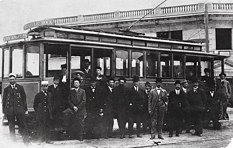
The first electric run from Glendale to Eagle Rock in 1909. The Glendale and Eagle Rock Railway Company later became the Glendale and Montrose Railway Company. E. D. Goode, the builder, is in a gray suit in the foreground.

Photographed by Craig Baker, January 15, 2026
5. Electric Trolley Barn
This historic building is located nearby, behind Anawalt Lumber, 3711 N Verdugo Rd.
Credits. This page was last revised on June 28, 2026. It was originally submitted on January 28, 2026, by Craig Baker of Sylmar, California. This page has been viewed 44 times since then. Photos: 1, 2, 3, 4, 5. submitted on January 28, 2026, by Craig Baker of Sylmar, California.
