Montrose in Glendale in Los Angeles County, California — The American West (Pacific Coastal)
Montrose Founding
S.W. corner Verdugo Blvd. and Clifton Pl.
| — | Historic Montrose | — |

Photographed by Craig Baker, January 15, 2026
1. Montrose Founding Marker
In late 1912, developers Robert Walton and Frank Walters, after grading the land and laying out the streets in an unusual circular pattern, held a contest to name their new development in the southeast corner of La Crescenta. Eight people submitted "Montrose," but the developers never publicly stated why they chose that name as the winner, which has prompted much speculation over the last 100 years. On February 22, 1913, the developers hosted a public BBQ just east of what is now the Montrose Shopping Park and started selling lots in Montrose.
Erected by Montrose Shopping Park Association, Historical Society of the Crescenta Valley, and Boy Scout Troop 317.
Topics. This historical marker is listed in this topic list: Settlements & Settlers. A significant historical year for this entry is 1912.
Location. 34° 12.312′ N, 118° 13.519′ W. Marker is in Glendale, California, in Los Angeles County. It is in Montrose. It is at the intersection of Honolulu Avenue and Montrose Avenue, on the right when traveling west on Honolulu Avenue. Touch for map. Marker is at or near this postal address: 2201 Honolulu Ave,
this page online

Regionally, this marker is in Greater Los Angeles and in the Transverse Ranges. It is also on the American Pacific Coast. Globally, it is in North America, on the Ring of Fire, on the Pacific Rim, in the Western Hemisphere, in the Western World, and in the Anglosphere. Historically, it finds itself in what was once New Spain and also Mexico’s Alta California.
Other nearby markers. At least 8 other markers are within walking distance of this marker: Rocky Cola Café (here, next to this marker); Glendale and Montrose Railway (a few steps from this marker); Potts Building (within shouting distance of this marker); Gelsinger's (within shouting distance of this marker); Abe’s Lock and Key (within shouting distance of this marker); Reinhart Building (within shouting distance of this marker); Safeway (about 500 feet away, measured in a direct line); Shopping Bag (about 500 feet away). Touch for a list and map of all markers in Glendale.
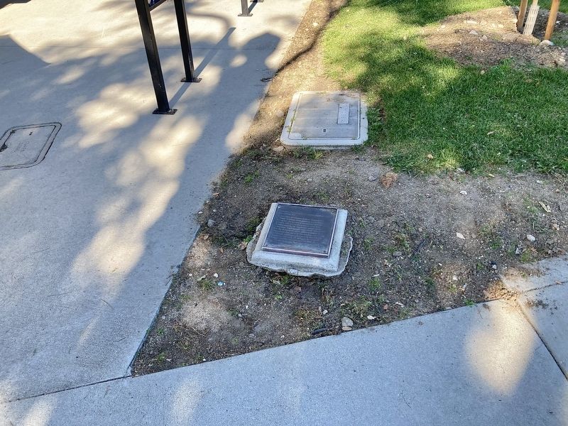
Photographed by Craig Baker, January 15, 2026
2. Montrose Founding Marker
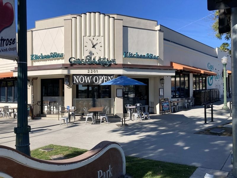
Photographed by Craig Baker, January 15, 2026
3. Montrose Founding Marker
The marker lays flat in the landscaping, at far right.

Photographed by Craig Baker
4. Montrose History Walk
Credits. This page was last revised on February 18, 2026. It was originally submitted on January 28, 2026, by Craig Baker of Sylmar, California. This page has been viewed 38 times since then. Photos: 1, 2, 3. submitted on January 28, 2026, by Craig Baker of Sylmar, California. 4. submitted on February 18, 2026, by Craig Baker of Sylmar, California.
