
Tumwater in Thurston County, Washington — The American West (Northwest)
The Port Townsend Southern Railroad
Photographed by Shirley A Stirling, January 29, 2026
1. The Port Townsend Southern Railroad Marker
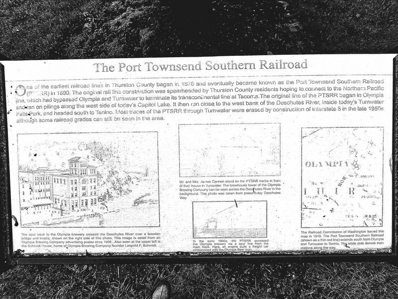
One of the earliest railroad lines in Thurston County began in 1878 and eventually became known as the Port Townsend Southern Railroad (PTSRR) in 1890. The original rail line construction was spearheaded by Thurston County residents hoping to connect to the Northern Pacific Line, which had bypassed Olympia and Tumwater to terminate its transcontinental line at Tacoma. The original line of the PTSRR began in Olympia and ran on pilings along the west side of today's Capitol Lake. It then ran close to the west bank of the Deschutes River, inside today's Tumwater Falls Park, and headed south to Tenino. Most traces of the PTSRR through Tumwater were erased by the construction of Interstate 5 in the late 1950s although some railroad grades can still be seen in the area.
[Captions:]
Mr. and Mrs. James Cannon stand on the PTSRR tracks in front of their house in Tumwater. The Brewhouse tower of the Olympia Brewing Company can be seen across the Deschutes River in the background. This photo was taken from present-day Deschutes Way.
The spur track to the Olympia brewery crossed the Deschutes River over a wooden bridge and trestle, shown on the right side of this photo. This image is a detail from an Olympia Brewing Company advertising poster, circa 1906. Also seen at the upper left is the Schmidt House, home of Olympia Brewing Company founder Leopold F. Schmidt.
In the early 1900s, the PTSRR accessed the Olympia brewery via a spur line from the main track. Here, an engine puts a freight car emblazoned with the Olympia Beer logo.
The Railroad Commission of Washington issued this map in 1910. The Port Townsend Southern Railroad (shown as a thin red line) extends south from Olympia and Tumwater to Tenino. The white dots denote train stations along the way.
Topics.
this page online
Location. 47° 1.19′ N, 122° 54.292′ W. Marker is in Tumwater, Washington, in Thurston County. It is at the intersection of Deschutes Way and Grant Street Southwest, on the right when traveling north on Deschutes Way. Touch for map. Marker is at or near this postal address: 602 Deschutes Way, Olympia WA 98501, United States of America. Touch for directions.

Regionally, this marker is in the Puget Sound Region and in Greater Seattle. It is also on the American Pacific Coast, in the Pacific Northwest, and in the Lewis & Clark Corridor. Globally, it is in North America, in the Inside Passage, on the Ring of Fire, in the Pacific Rim, in the Western Hemisphere, in the Western World, and in the Anglosphere.
Other nearby markers. At least 8 other markers are within walking distance of this marker: A house from the early 20th century (a few steps from this marker); A House from the Pioneer Era (within shouting distance of this marker); Crosby House (about 300 feet away, measured in a direct line); Historic Tumwater
Photographed by Shirley A Stirling, January 29, 2026
2. The railroad marker on the lovely grounds
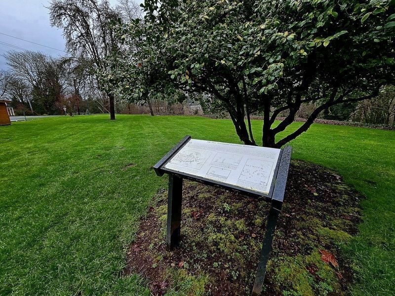
More about this marker. The marker has faded significantly, but is legible in the provided image, thanks to photo editing.
Photographed by Shirley A Stirling
3. The PT Southern RR Marker
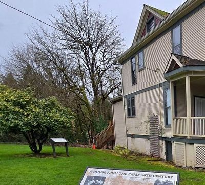
The marker is very close to the Brewmaster/Henderson House.
Credits. This page was last revised on February 3, 2026. It was originally submitted on January 31, 2026, by Shirley A Stirling of Lacey, Washington. This page has been viewed 84 times since then. Last updated on February 2, 2026, by Shirley A Stirling of Lacey, Washington. Photos: 1, 2. submitted on January 31, 2026, by Shirley A Stirling of Lacey, Washington. 3. submitted on February 2, 2026, by Shirley A Stirling of Lacey, Washington. • Devry Becker Jones was the editor who published this page.
