Key West in Monroe County, Florida — The American South (South Atlantic)
The Truman Annex was formerly the Key West Naval Station
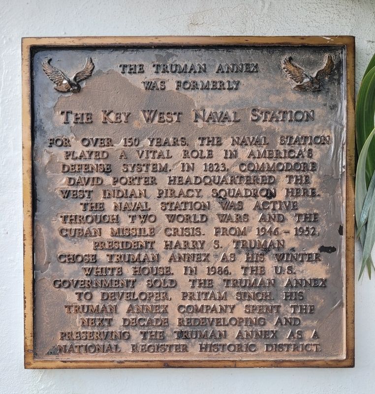
Photographed by James Hulse, January 11, 2026
1. The Truman Annex was formerly the Key West Naval Station Marker
Topics. This historical marker is listed in this topic list: Notable Buildings. A significant historical year for this entry is 1823.
Location. 24° 33.209′ N, 81° 48.267′ W. Marker is in Key West, Florida, in Monroe County. It is at the intersection of Southard Street and Thomas Street, on the right when traveling west on Southard Street. Touch for map. Marker is at or near this postal address: 261 Southard St, Key West FL 33040, United States of America. Touch for directions.

Regionally, this marker is on the Florida Keys. It is also in the American South and on the Gulf Coast.
this page online
Other nearby markers. At least 8 other markers are within walking distance of this marker: Old Monroe County Jail (about 500 feet away, measured in a direct line); Monroe County Courthouse (about 500 feet away); The Kapok Tree (about 500 feet away); Jefferson B. Browne (about 600 feet away); 323 Fleming Street (about 600 feet away); Marine Hospital (about 700 feet away); Cornish Memorial AME Zion Church (about 700 feet away); United States Weather Bureau (approx. 0.2 miles away). Touch for a list and map of all markers in Key West.
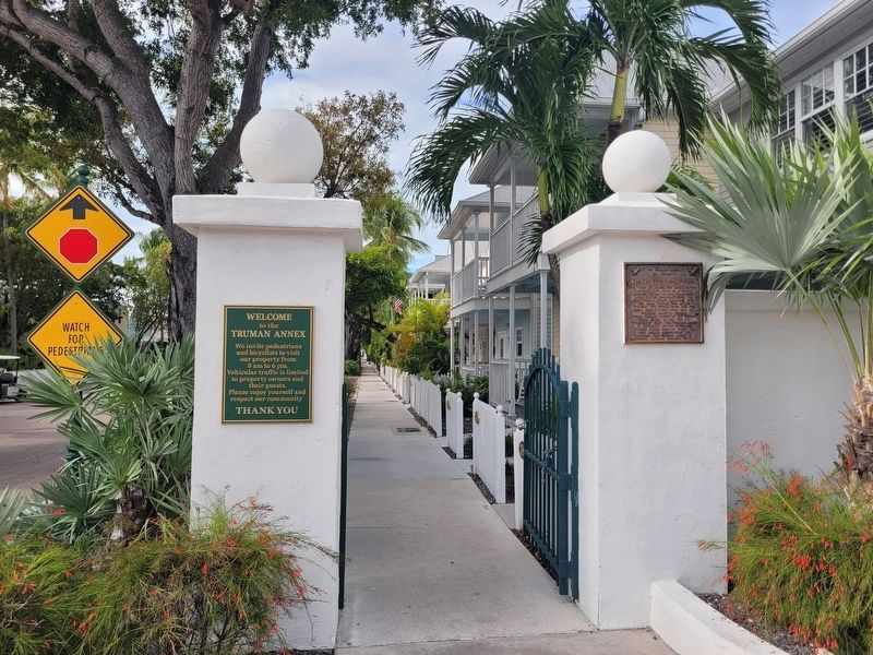
Photographed by James Hulse, January 11, 2026
2. The Truman Annex was formerly the Key West Naval Station Marker
The marker is located at a gateway through the Truman Annex neighborhood.
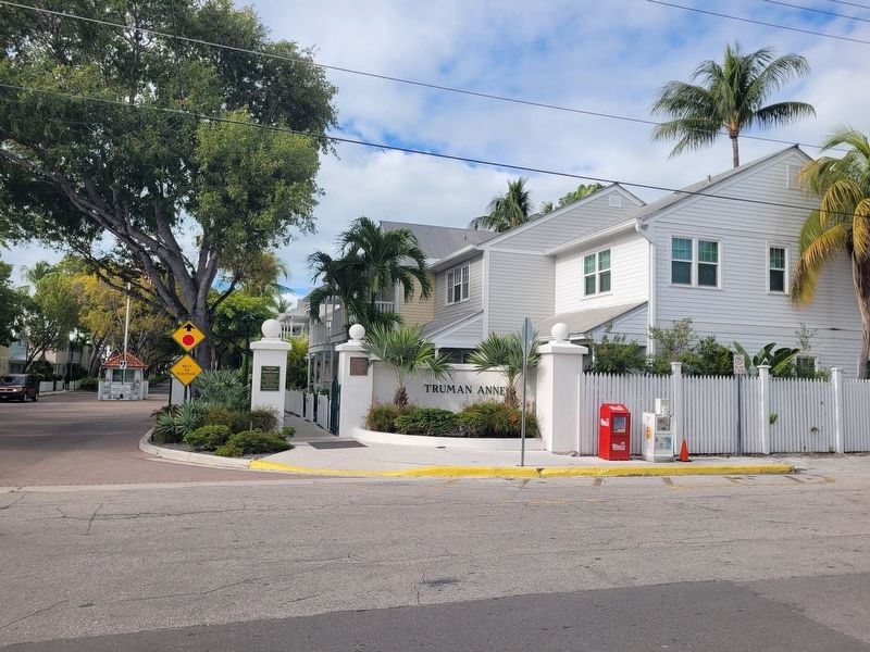
Photographed by James Hulse, January 11, 2026
3. The Truman Annex was formerly the Key West Naval Station Marker
The view of the marker from across the street.
Credits. This page was last revised on February 7, 2026. It was originally submitted on February 6, 2026, by James Hulse of Medina, Texas. This page has been viewed 82 times since then. Photos: 1, 2, 3. submitted on February 7, 2026, by James Hulse of Medina, Texas.
