Xanadu in Taylorsville in Salt Lake County, Utah — The American Mountains (Southwest)
Archibald Gardner Mill
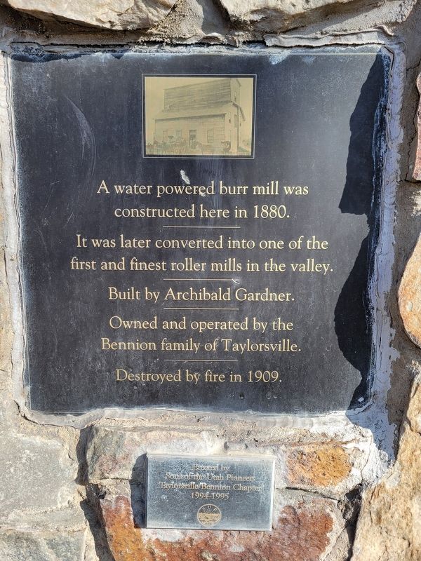
Photographed by Jeremy Snow, January 15, 2026
1. Archibald Gardner Mill Marker
It was later converted into one of the first and finest roller mills in the valley.
Built by Archibald Gardner.
Owned and operated by the Bennion family of Taylorsville.
Destroyed by fire in 1909.
Erected 1995 by Sons of Utah Pioneers.
Topics and series. This historical marker is listed in this topic list: Industry & Commerce. In addition, it is included in the Sons of Utah Pioneers series list. A significant historical year for this entry is 1880.
Location. 40° 40.025′ N, 111° 54.534′ W. Marker is in Taylorsville, Utah, in Salt Lake County. It is in Xanadu. It is at the intersection of Sunstone Road and Murray Taylorsville Road, on the right when traveling north on Sunstone Road. Touch for map. Marker is at or near this postal address: 636 Murray Taylorsville Road, Salt Lake City UT 84123, United States of America. Touch for directions.

Regionally, this marker is in the Wasatch Front and in Greater Salt Lake. It is also in the American Mountain West and on the Colorado Plateau. Globally, it is in North America, the Rocky Mountains, the Western
this page online
Other nearby markers. At least 8 other markers are within 2 miles of this marker, measured as the crow flies: From Dugout to Freedom Shrine (approx. half a mile away); Welsh Settlement (approx. half a mile away); Murray LDS Second Ward Meetinghouse (approx. 0.6 miles away); Bergertown Settlement (approx. 0.6 miles away); John P. Cahoon House (approx. one mile away); 205 East Vine Street (approx. 1.3 miles away); John and Jeanette Gerrard House (approx. 1.3 miles away); Cultivator (approx. 1.3 miles away). Touch for a list and map of all markers in Taylorsville.
Another marker is no longer nearby. Millrace (was approx. 1.2 miles away but has been confirmed missing).
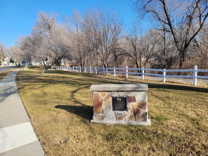
Photographed by Jeremy Snow, January 15, 2026
2. Archibald Gardner Mill Marker
Credits. This page was last revised on February 11, 2026. It was originally submitted on February 6, 2026, by Jeremy Snow of Cedar City, Utah. This page has been viewed 38 times since then. Photos: 1, 2. submitted on February 6, 2026, by Jeremy Snow of Cedar City, Utah. • Andrew Ruppenstein was the editor who published this page.
