Durham in Lower Connecticut River Valley Region, Connecticut — The American Northeast (New England)
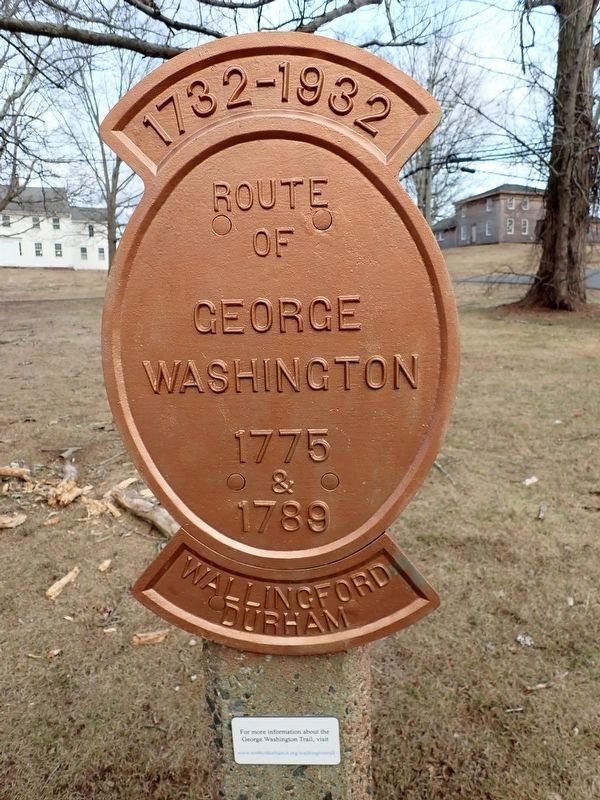
Route of George Washington
Photographed by Conrad Ward, March 12, 2025
1. Route of George Washington Marker
Route
of
George
Washington
1775
&
1789
Wallingford
Durham
Erected 1932 by George Washington Bicentennial Committee.
Topics and series. This historical marker is listed in these topic lists: Patriots & Patriotism • War, US Revolutionary. In addition, it is included in the Former U.S. Presidents: #01 George Washington series list. A significant historical year for this entry is 1775.
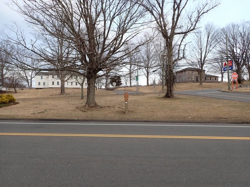
Location. 41° 27.919′ N, 72° 40.736′ W. Marker is in Durham in Lower Connecticut River Valley Region, Connecticut. It is at the intersection of New Haven Road and Madison Road, on the right when traveling north on New Haven Road. Touch for map. Marker is at or near this postal address: 17 Madison Rd, Durham CT 06422, United States of America. Touch for directions.

Regionally, this marker is in the Connecticut River Valley and on the Connecticut Shoreline. It is also in the American Northeast, in New England, and on the Eastern Seaboard. Globally, it is in the North Atlantic Region, North America, the Western Hemisphere, the Western World, and the Anglosphere. Historically, it finds itself in what was
this page online
Other nearby markers. At least 8 other markers are within 4 miles of this marker, measured as the crow flies: Durham Veterans Monument (approx. 0.3 miles away); a different marker also named Route of George Washington (approx. 0.4 miles away); The Patriotic Tree (approx. 0.4 miles away); Durham (approx. 0.4 miles away); American Legion Post 184 Memorial (approx. 0.4 miles away); Moses Austin Birthplace (approx. one mile away); Congregational Church Bell (approx. 4 miles away); Middlefield-Rockfall World War II and Korean Conflict Monument (approx. 4 miles away). Touch for a list and map of all markers in Durham.
Regarding Route of George Washington. This is one of seventeen markers erected by the towns of Durham and Wallingford during the 1932 celebration of George Washington's 200th birthday, to show the routes he travelled in 1775 and 1789.
Also see . . . George Washington Trail - Durham History.
Passing through Durham or Wallingford, one might notice bronze markers reading, “Route of George Washington.” Few are aware that the father of the(Submitted on February 7, 2026.)nation passed through these small towns.Photographed by Conrad Ward, March 12, 20252. Route of George Washington Marker
Credits. This page was last revised on May 19, 2026. It was originally submitted on February 7, 2026, by Conrad Ward of Guilford, Connecticut. This page has been viewed 60 times since then. Photos: 1, 2. submitted on February 7, 2026, by Conrad Ward of Guilford, Connecticut. • Devry Becker Jones was the editor who published this page.
