Clermontvile in Clermont County, Ohio — The American Midwest (Great Lakes)
Monroe Township

Photographed by Craig Doda, November 7, 2025
1. Monroe Township Marker
Named in honor of James Monroe, 5th president of the United States
Erected by Ohio Historical Connection; Ohio Department of Transportation; Ohio Bicentennial Commission.
Topics and series. This historical marker is listed in these topic lists: Government & Politics • Settlements & Settlers. In addition, it is included in the Former U.S. Presidents: #05 James Monroe, and the Ohio Historical Society / The Ohio History Connection series lists.
Location. 38° 55.344′ N, 84° 15.223′ W. Marker is in Clermontvile, Ohio, in Clermont County. It is at the intersection of Clermontville Laurel Road and Ohio River Scenic Byway (U.S. 52), on the right when traveling west on Clermontville Laurel Road. Touch for map. Marker is at or near this postal address: 1303 Ohio River Scenic Byway, New Richmond OH 45157, United States of America. Touch for directions.

Regionally, this marker is in Greater Cincinnati. It is also in the American Midwest, in the Ohio River Valley, in Appalachia, and specifically in Northern Appalachia. Globally, it is in North America, the Western
this page online
Other nearby markers. At least 8 other markers are within 3 miles of this marker, measured as the crow flies: Clermont Academy (about 500 feet away, measured in a direct line); Mt. Zion Chapel / Mt. Zion Cemetery - Lafayette School (approx. 1.2 miles away); Point Pleasant (approx. 2.1 miles away); Franklin Chapel (approx. 2.1 miles away); Jean DeLannoy (approx. 2.2 miles away); Ulysses Simpson Grant (approx. 2.2 miles away); U. S. Grant Birthplace (approx. 2.2 miles away); U.S. Grant Historic District (approx. 2.2 miles away).
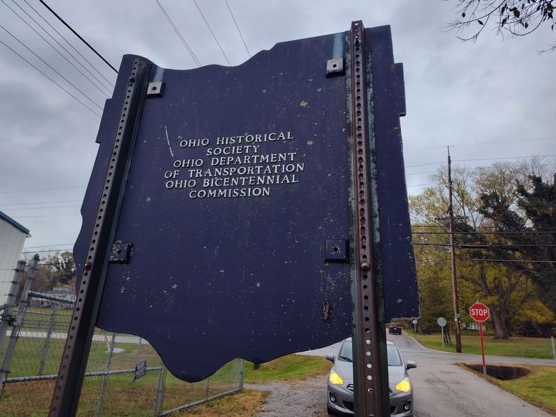
Photographed by Craig Doda, November 7, 2025
2. Monroe Township Marker
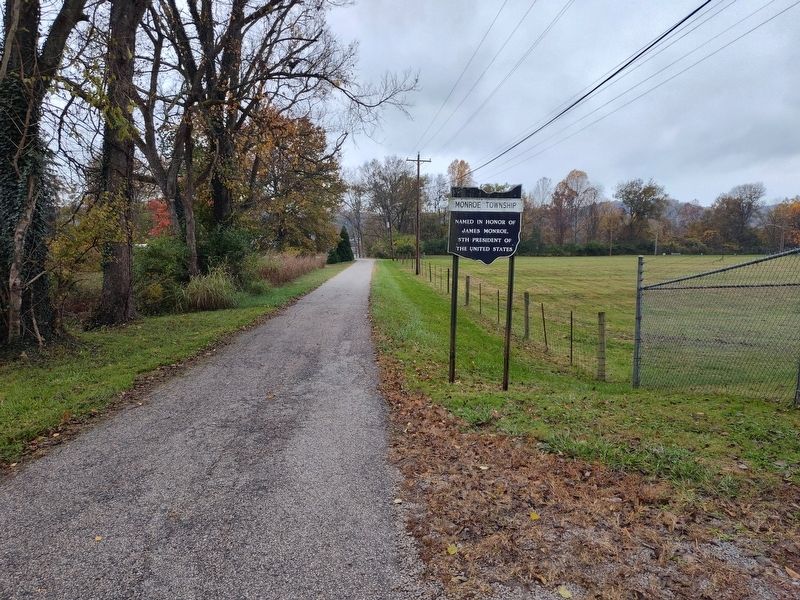
Photographed by Craig Doda, November 7, 2025
3. Monroe Township Marker
Credits. This page was last revised on February 9, 2026. It was originally submitted on February 8, 2026, by Craig Doda of Napoleon, Ohio. This page has been viewed 26 times since then. Photos: 1, 2, 3. submitted on February 8, 2026, by Craig Doda of Napoleon, Ohio. • Devry Becker Jones was the editor who published this page.
